Category
page 1Atacama Desert

Atacama Desert
desert in South America
Arica
Arica ( ; ) is a commune and a port city with a population of 241,653 in the Arica Province of northern Chile's Arica y Parinacota Region. It is Chile's northernmost city, being located only south of the border with Peru. The city is the capital of both the Arica Province and the Arica and Parinacota Region. Arica is located at the bend of South America's western coast known as the Arica Bend or Arica Elbow. At the location of the city are two valleys that dissect the Atacama Desert converge: Azapa and Lluta. These valleys provide citrus and olives for export.

Copiapó
Copiapó () is a city and commune in northern Chile, located about 65 kilometers east of the coastal town of Caldera. Founded on 8 December 1744, it is the capital of Copiapó Province and Atacama Region.

Ojos del Salado
highest volcano in the world
European Southern Observatory
intergovernmental organization and observatory in Chile

Llullaillaco
Llullaillaco ( or ) is a dormant stratovolcano on the border between Argentina (Salta Province) and Chile (Antofagasta Region). It is part of the Llullaillaco National Park and lies in the Puna de Atacama, a region of tall volcanic peaks on a high plateau close to the Atacama Desert, one of the driest places in the world. Its maximum elevation is most commonly given as , making it the second-highest active volcano in the world. Despite its height, it is not clear whether the volcano has any glaciers or merely patches of perennial snow and ice. Between and elevation there is a sparse plant cove

Atacama Large Millimeter Array
66 radio telescopes in the Atacama Desert of northern Chile

La Silla Observatory
astronomical observatory in Chile
San Pedro de Atacama
town in Chile
Paranal Observatory
astronomical observatory in the Atacama Desert

Chuquicamata
Chuquicamata ( ; referred to as Chuqui for short) is the largest open pit copper mine in terms of excavated volume in the world. It is located in the north of Chile, just outside Calama, at above sea level. It is northeast of Antofagasta and north of the capital, Santiago. Flotation and smelting facilities were installed in 1952, and expansion of the refining facilities in 1968 made 500,000 tons annual copper production possible in the late 1970s. Previously part of Anaconda Copper, the mine is now owned and operated by Codelco, a Chilean state enterprise, since the Chilean nationalization of
Humberstone and Santa Laura Saltpeter Works
World Heritage sites in northern Chile
Salar de Atacama
Endorheic drainage basin and salt pan
Vallenar
Vallenar is a city and commune in Atacama Region, Chile. It is the capital of the Huasco Province and is located in the valley of the Huasco River. Vallenar has 52,000 inhabitants. Its main activities are farming and mining. It was founded as San Ambrosio de Ballenary by Ambrose O'Higgins in 1789, after his birthplace in Ballynary in County Sligo, Ireland. With its founding Vallenar displaced Santa Rosa, now Freirina, as the main settlement of the Huasco Valley.

Copiapoa
Copiapoa is a genus of flowering plants in the cactus family Cactaceae, from the dry coastal deserts, particularly the Atacama Desert, of northern Chile.
Eulidia yarrellii
species of bird
Freirina
Freirina is a Chilean commune and town in Huasco Province, Atacama Region. The commune spans an area of . Freirina is both an agricultural and a mining town.
El Tatio
Geyser field located in the Andes Mountains, Chile
Puna de Atacama
high plateau in the Andes
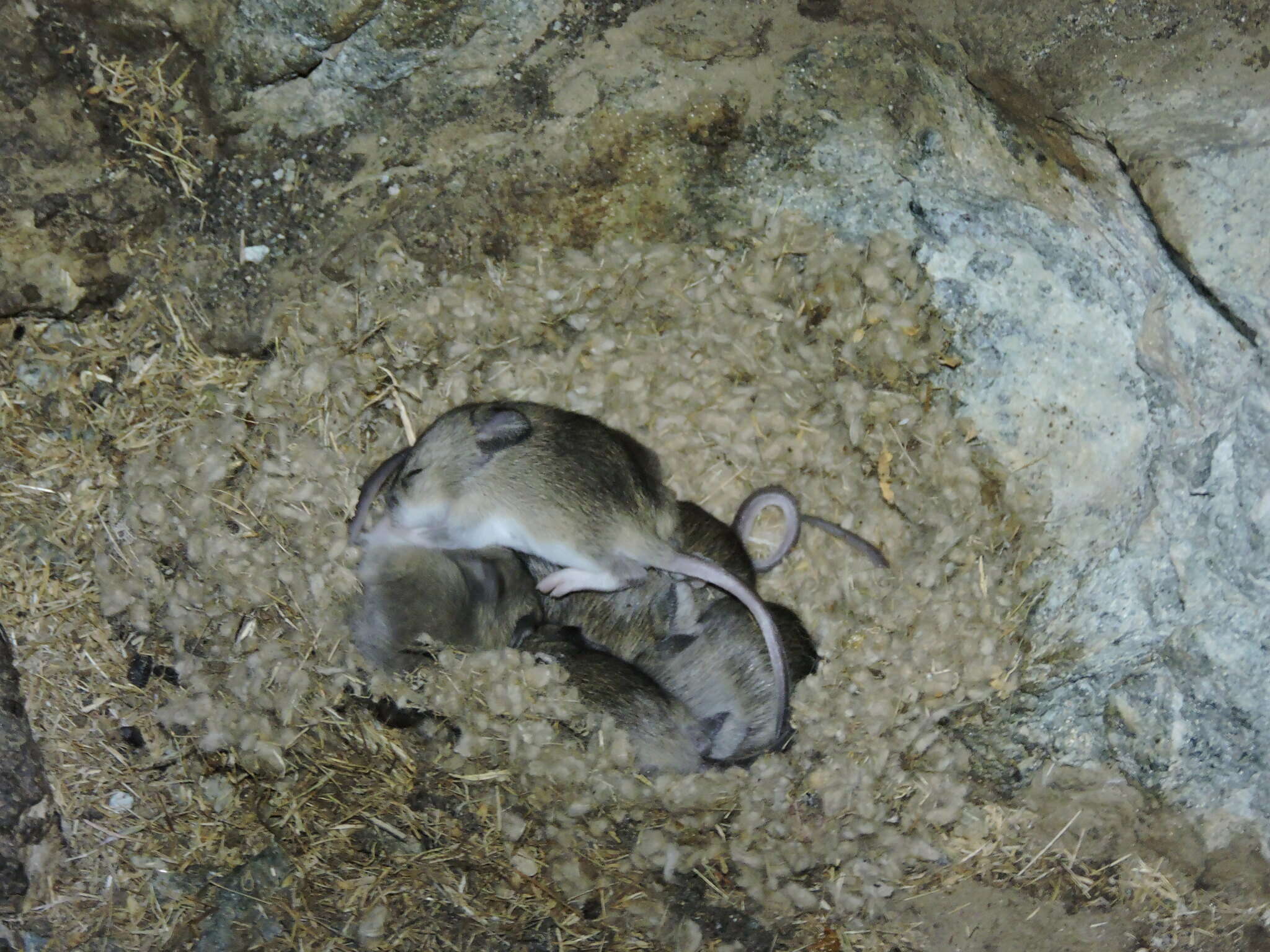
Darwin's leaf-eared mouse
species of rodent
Atacama skeleton
mummified corpse from the Atacama desert, Chile
Valle de la Luna
Geographical feature in Chile
Llano de Chajnantor Observatory
Atacameños
indigenous people from the Atacama Desert
Pampa del Tamarugal
geographic feature in Chile
Atacama Giant
geoglyph in Chile
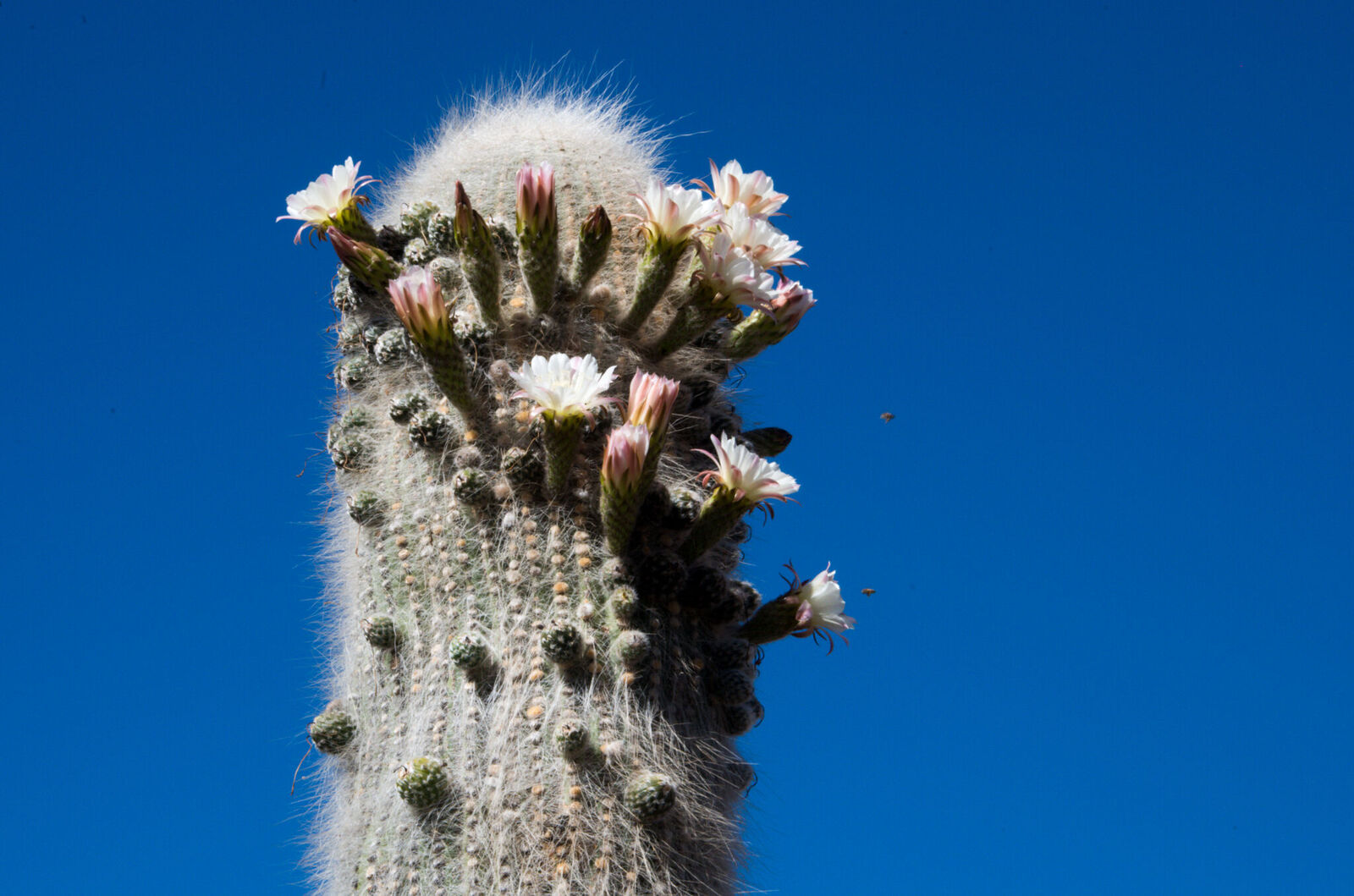
Leucostele atacamensis
species of plant
Pan de Azúcar National Park
national park in Chile
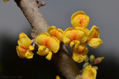
Geoffroea decorticans
species of plant
Atacama Cosmology Telescope
telescope in Chile
Kunza
language
Liolaemus fabiani
species of reptile
Chaunus atacamensis
species of amphibian
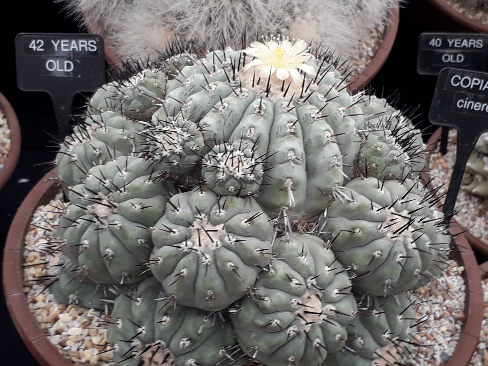
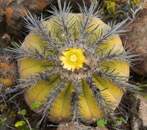
Copiapoa cinerea
species of plant
Liolaemus atacamensis
species of reptile
Purico Complex
mountain in Chile

Escondida Mine
thumb|300px|Location of the La Escondida and Chuquicamata copper mines in Chile
thumb|200px|False color satellite image of Escondida (bottom) and neighbouring Zaldívar mines (top), April 2000
Escondida is a large open-pit copper mine at elevation in the Atacama Desert in Antofagasta Region, Chile. It has for decades been one of world's most productive copper mines and is the mine that leads in copper and gold production in Chile. In 2019 it was estimated that the mine and its ancillary industries generated 2.5% of Chile's GDP. The mine's produce is largely exported to China as ore concentrate
Desierto de Atacama Airport
airport in Copiapó
Chango people
ethnic group

Copiapoa marginata
species of plant
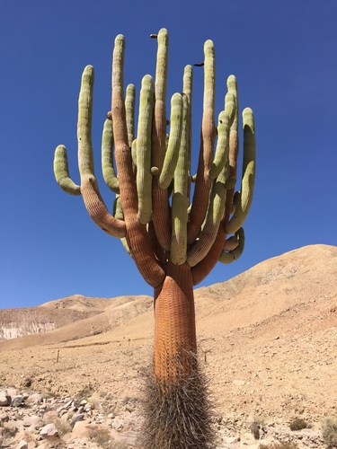
Browningia candelaris
species of plant
Copiapoa echinoides
species of plant
Atacama Submillimeter Telescope Experiment
Radio astronomy telescope
Monturaqui crater
Monturaqui is an impact crater in Chile. It lies south of the Salar de Atacama and was formed 663,000 ± 90,000 years ago by the impact of an IAB meteorite. It is wide and deep and contains a salt pan. Only a few remnants of the meteorite that formed the crater have been collected, with most of the rocks being of local origin. The crater was discovered in 1962 and identified as an impact crater in 1966.
Southern Wide-field Gamma-ray Observatory
gamma ray observatory in South America
Fred Young Submillimeter Telescope
proposed radio telescope in Antofagasta Region, Chile
Copiapoa atacamensis
species of plant

Lomas
Lomas, also called fog oases and mist oases, are areas of fog-watered vegetation in the coastal desert of Peru and northern Chile. About 100 lomas near the Pacific Ocean are identified between 5°S and 30°S latitude, a north–south distance of about . Lomas range in size from a small vegetated area to more than and their flora includes many endemic species. Apart from river valleys and the lomas the coastal desert is almost without vegetation. Scholars have described individual lomas as "an island of vegetation in a virtual ocean of desert."
thumb|250px|right|Lomas de Lachay is a protected area
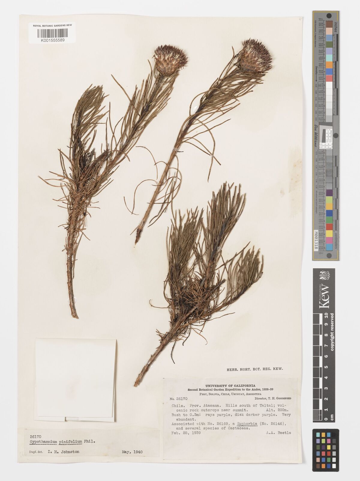
Gypothamnium
Gypothamnium is a genus of South American flowering plants in the family Asteraceae.
Atacama Fault
system of faults in northern Chile
Saltpeter works
Alto Loa National Reserve
national reserve in Chile
Paposo
thumb|250px|Quebrada de Medano, 18 km north of Paposo.
Paposo or Caleta Paposo is a hamlet in the southern part of Antofagasta Province, Chile. It is located on a narrow coastal plain bordering the Pacific Ocean. The census of 2002 counted 259 inhabitants, who predominantly relied on fishing and mining for a living. Paposo has a desert climate, but "fog oases" exist on mountain slopes near the sea. In a region almost devoid of vegetation, these oases, also called lomas, support a variety of flora found from about to inland.