Category
page 1Cornish Killas
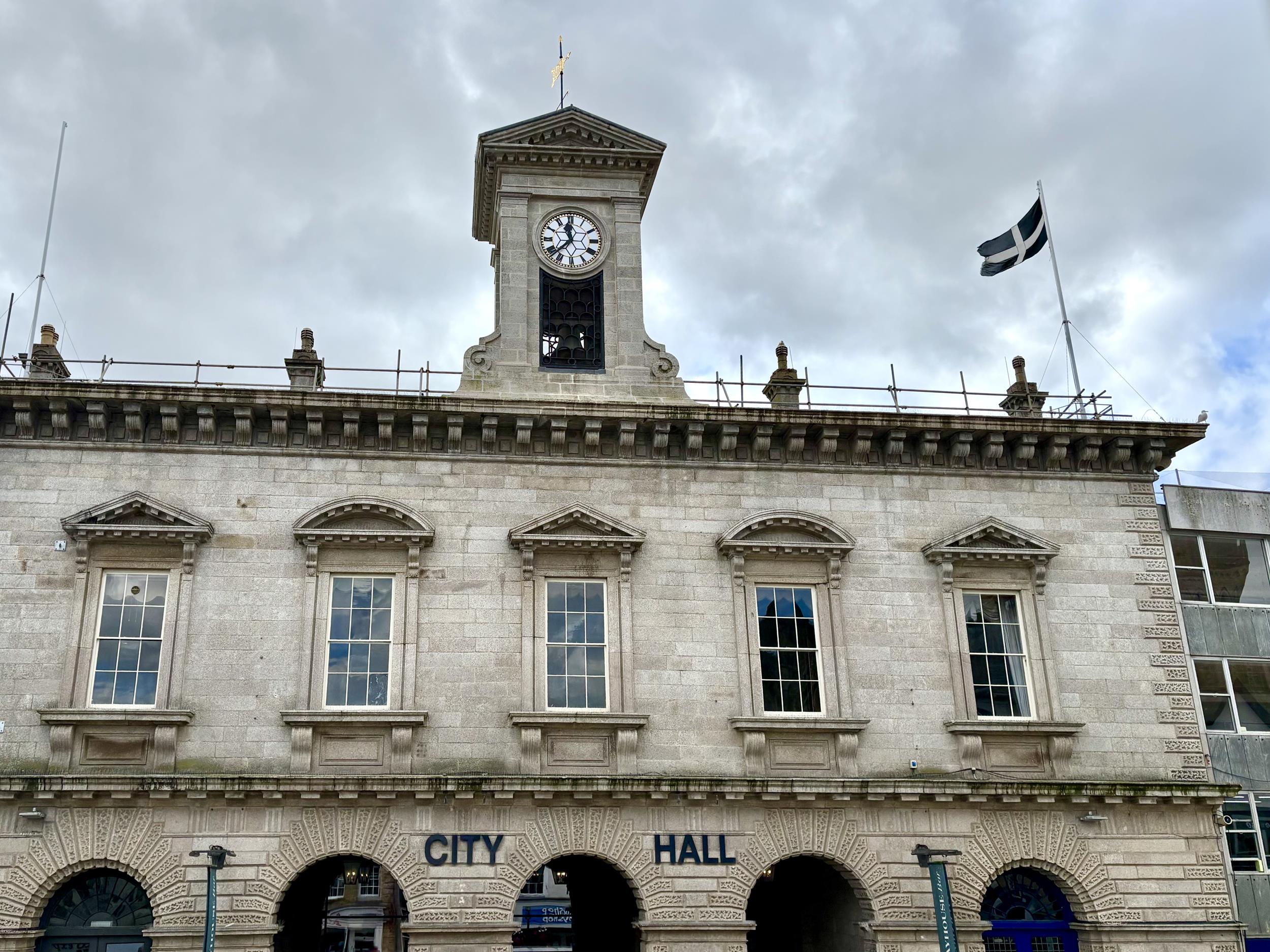
Truro
Truro (; ) is a cathedral city and civil parish in Cornwall, England. It is the southernmost city in the United Kingdom, and lies west-south-west of London. It is Cornwall's county town, only city, and a centre for administration, leisure and shopping. At the 2021 census the population of the parish was 21,046 and the population of the built up area as defined by the Office for National Statistics (which included the Gloweth and Treliske areas in the neighbouring parish of Kenwyn) was 23,060.

Penzance
Penzance ( ; ) is a town, civil parish and port in Cornwall, England. It lies west-southwest of Plymouth, west-southwest of London, and east of Land's End. Penzance railway station is the terminus of the Cornish Main Line and is both the southernmost and westernmost station in England. Situated in the shelter of Mount's Bay, the town faces south-east onto the English Channel. As well as Penzance itself, the parish also includes the fishing port of Newlyn and the villages of Mousehole, Paul, Gulval, and Heamoor. At the 2021 census the population of the parish was 20,734 and the population of th
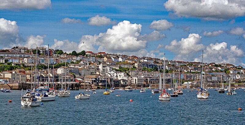
Falmouth
town and port on the River Fal in Cornwall, England, UK

Newquay
Newquay ( ; ) is a town on the north coast in Cornwall, England, United Kingdom. It is a civil parish, seaside resort, regional centre for aerospace industries with an airport and a spaceport, and a fishing port on the North Atlantic coast, approximately north of Truro and west of Bodmin.

Bodmin
Bodmin () is a town and civil parish in Cornwall, England, United Kingdom. It is situated south-west of Bodmin Moor.
St Austell
town in Cornwall, England, UK

Redruth
Redruth ( , ) is a town and civil parish in Cornwall, England. Redruth lies approximately at the junction of the A393 and A3047 roads, on the route of the old London to Land's End trunk road (now the A30), and is approximately west of Truro, east of St Ives, north east of Penzance and north west of Falmouth. At the 2021 census the population of the parish was 15,626 and the population of the built up area was 15,455.
River Tamar
river in Cornwall and Devon, England

Camborne
Camborne (, meaning "crooked hill") is a town and civil parish in Cornwall, England. At the 2021 census the population of the parish was 23,831 and the population of the built up area was 20,450. The town lies about inland, but the northern boundary of the parish is the coast, including Hell's Mouth and Deadman's Cove. The coast is followed by the South West Coast Path. As well as Camborne itself, the parish also includes a number of hamlets.

Saltash
Saltash () is a town and civil parish in eastern Cornwall, England. Saltash faces the city of Plymouth over the River Tamar and is popularly known as "the Gateway to Cornwall". Saltash’s landmarks include the Tamar Bridge which connects Plymouth to Cornwall by road, and the Royal Albert Bridge. At the 2021 census the population of the parish was 16,288 and the population of the built up area was 15,435.

Hayle
thumb|Sketch map showing Hayle and St Ives Bay

Helston
Helston () is a town and civil parish in Cornwall, England. It is situated at the northern end of the Lizard Peninsula, approximately east of Penzance and south-west of Falmouth. Helston is the most southerly town on the island of Great Britain and is around farther south than Penzance. At the 2021 census, the population of the parish was 11,611 and that of the built up area was 11,360.
.jpg)
Padstow
Padstow (; ) is a town, civil parish and fishing port on the north coast of Cornwall, England, United Kingdom. The town is situated on the west bank of the River Camel estuary, approximately northwest of Wadebridge, northwest of Bodmin and northeast of Newquay. As well as Padstow itself, the parish also includes the village of Trevone and surrounding rural areas. At the 2021 census the population of the parish was 2,669 and the population of the built up area was 2,298.

Fowey
Fowey ( ; , meaning beech trees) is a port town and civil parish at the mouth of the River Fowey in south Cornwall, England, United Kingdom. The town has been in existence since well before the Norman invasion, with the local church first established some time in the 7th century; the estuary of the River Fowey forms a natural harbour which enabled the town to become an important trading centre. Privateers also made use of the sheltered harbourage. The Lostwithiel and Fowey Railway brought China clay here for export. At the 2021 census the population of the parish was 2,244 and the population o

Liskeard
Liskeard ( ; Lit. Lys court Kerr fort Ys wheat) is an ancient stannary and market town and civil parish in south-east Cornwall, England, United Kingdom. It is situated approximately 20 miles (32 km) west of Plymouth, west of the Devon border, and 12 miles (20 km) east of Bodmin. The Bodmin Moor lies to the north-west of the town. At the 2021 census the population of the parish of 10,902.

Wadebridge
thumb|The Old Bridge
thumb|Looking towards the Methodist church from the bridge
River Fowey
UK river in Cornwall, England
River Camel
river in Cornwall, England
River Fal
river in Cornwall, England
River Inny
river in east Cornwall, UK
River Hayle
river in west Cornwall, England
River Tiddy
river in Cornwall, United Kingdom