Category
page 1Dinaric karst formations
%2C%20Krupa-Canyon%20--%202022%20--%200003.jpg)
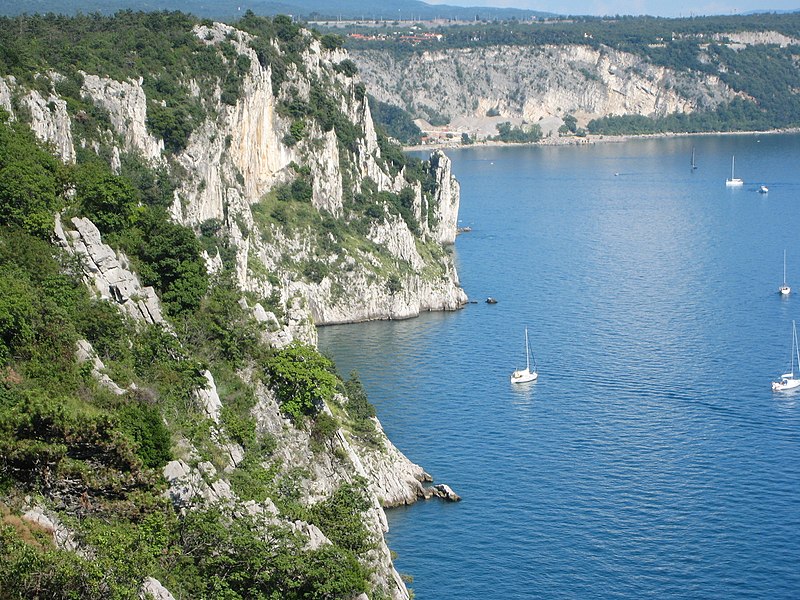
karst
thumb|Typical karst terrain of the Dinaric Alps
thumb|Li River|Li Jiang fengcong (cone karst) in [[Guilin as part of the South China Karst]]
thumb|Karst formation of the Serra de Tramuntana
Karst () is a topography formed from the dissolution of soluble carbonate rocks such as limestone and dolomite. It is characterized by features like poljes above and drainage systems with sinkholes and caves underground. There is some evidence that karst may occur in more weathering-resistant rocks such as quartzite given the right conditions.
.jpg)
doline
thumb|The Red Lake (Croatia)|Red Lake sinkhole in [[Croatia]]
A sinkhole is a depression or hole in the ground caused by some form of collapse of the surface layer. The term is sometimes used to refer to doline, enclosed depressions that are also known as shakeholes, and to openings where surface water enters into underground passages known as ponor, swallow hole or swallet. A cenote is a type of sinkhole that exposes groundwater underneath. Sink and stream sink are more general terms for sites which drain surface water, possibly by infiltration into sediment or crumbled rock.
Kras
limestone plateau region in south of Europe

polje
thumb|Livanjsko Polje in Bosnia is the largest polje in the world (Mount [[Dinara visible in the background).]]
A polje, also called karst polje or karst field, is a large flat plain found in karstic geological regions of the world, with areas usually in the range of 5–400 km2 (2–154 sq mi). The name derives from the Slavic languages, where polje literally means 'field', whereas in English polje specifically refers to a karst plain or karst field.

speleothem
thumb|upright=1.4|Cave labeled with the six most common types of speleothems: flowstone, columns, drapery, [[stalagmites, stalactites and straws]]
A speleothem (; ) is a geological formation made by mineral deposits that accumulate over time in natural caves. They can take a variety of forms, depending on their depositional history and environment. Common forms include stalagmites, stalactites, and flowstones.

ponor
thumb|The river Dobra (Kupa)|Dobra enters a 17 km long cave system at in [[Ogulin, Croatia.|276x276px]]
A ponor is a natural opening where surface water enters into underground passages; they may be found in karst landscapes where the geology and the geomorphology is typically dominated by porous limestone rock. Ponors can drain stream or lake water continuously or can at times work as springs, similar to estavelles. Morphologically, ponors come in forms of large pits and caves, large fissures and caverns, networks of smaller cracks, and sedimentary, alluvial drains.
subterranean river
river that runs wholly or partly beneath the ground surface
pit cave
cave with significant vertical passages

Suffosion
Suffosion is one of the two geological processes by which subsidence sinkholes or dolines are formed, the other being due to collapse of an underlying cave or void, with most sinkholes formed by the suffosion process. Suffosion sinkholes are normally associated with karst topography although they may form in other types of rock including chalk, gypsum and basalt. In the karst of the UK's Yorkshire Dales, numerous surface depressions known locally as "shakeholes" are the result of glacial till washing into fissures in the underlying limestone.
Uvala
local toponym in some regions in Croatia, Bosnia and Herzegovina, Montenegro and Serbia for a closed karst depression

foiba
thumb|Grotta Plutone is a foiba close to Basovizza, Trieste ([[Italy)]]
subterranean waterfall
waterfall inside cavern
Estavelle
thumb|Creux-Genat, an intermittent karst estavelle between Chevenez and Porrentruy in the Ajoie, recorded on April 2nd, 2005 and April 17th, 2006.
In karst geology, estavelle or inversac is a ground orifice which, depending on weather conditions and season, can serve either as a sink or as a source of fresh water. It is a type of ponor or sinkhole.