Category
page 1Erosion landforms

cave
thumb|Lechuguilla Cave, [[New Mexico, United States]]

valley
A valley is an elongated low area often running between hills or mountains and typically containing a river or stream running from one end to the other. Most valleys are formed by erosion of the land surface by rivers or streams over a very long period. Some valleys are formed through erosion by glacial ice. These glaciers may remain present in valleys in high mountains or polar areas.

beach
A beach is a landform alongside a body of water which consists of loose particles. The particles composing a beach are typically made from rock, such as sand, gravel, shingle, pebbles, etc., or biological sources, such as mollusc shells or coralline algae. Sediments settle in different densities and structures, depending on the local wave action and weather, creating different textures, colors and gradients or layers of material.

cliff
thumb|The White Cliffs of Dover
upright|thumb|The Trango Towers in Pakistan. Their vertical faces are the world's tallest cliffs. Trango Tower center; Trango Monk center left; Trango II far left; Great Trango right.
upright|thumb|Europe's highest cliff, Troll Wall in Norway, a famous [[BASE jumping location for jumpers from around the world.]]

ridge
thumb|The southern ridge of the Xueshan Range|Mt Sylvia Range, a ridge composed of several peaks, viewed from the Lishan area of [[Taiwan]]

mesa
thumb|Aerial view of mesas in Monument Valley, on the [[Colorado Plateau]]
thumb|right|Har Qatum, a mesa located on the southern edge of Makhtesh Ramon, Israel
thumb|Ingleborough in North Yorkshire, England
thumb|Mount Garfield (Mesa County, Colorado)|Mount Garfield, a mesa in Colorado
A mesa is an isolated, flat-topped elevation, ridge, or hill, bounded from all sides by steep escarpments and standing distinctly above a surrounding plain. Mesas consist of flat-lying soft sedimentary rocks, such as shales, capped by a resistant layer of harder rock, like sandstone or limestone, forming a capro

ravine
thumb|upright=1.2|Homole Ravine, Pieniny National Park (Poland)|Pieniny, [[Poland]]
thumb|Shinturgen pine forest photographed from above. [[Enbekshikazakh District, Almaty Region, Kazakhstan.]]
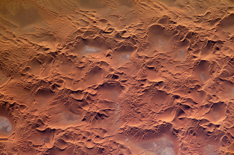
erg
broad, flat area of desert

badlands
thumb|right|The Chinle Badlands at Grand Staircase–Escalante National Monument, [[Utah, United States]]
%20-%20REFON%203.JPG)
gully
thumb|A gully in Avaré, Brazil

cuesta
thumb|Cuesta in Italy
thumb|Schematic cross section of three cuestas, dip slopes facing left, and harder rock layers in darker colors than softer ones
thumb|Cuesta in Crimea
thumb| Magaliesberg Range, Transvaal, South Africa

tepui
A tepui (), or tepuy (), is a member of a family of table-top mountains or mesas found in northern South America, especially in Venezuela, western Guyana, and northern Brazil. The word tepui means "house of the gods" in the native tongue of the Pemon, the indigenous people who inhabit the Gran Sabana.
natural arch
natural rock formation where a rock arch forms
Đavolja Varoš
protected area

inselberg
thumb|upright=1.2|Uluru in [[Australia]]

butte
thumb|West and East Mitten Buttes|The Mittens and [[Merrick Butte in Monument Valley, Utah–Arizona]]
limestone pavement
natural karst landform consisting of a flat, incised surface of exposed limestone

peneplain
thumb|300px|Aerial view of the almost flat and drowned peneplain at Belcher Islands, Hudson Bay, Canada, cutting across numerous [[geologic folds.]]
hoodoo
tall, thin spire of rock that protrudes from the bottom of an arid drainage basin or badland
Makhtesh Ramon National Park
national park in Israel
mushroom rock
naturally occurring rock whose shape resembles a mushroom
arroyo
dry creek or stream bed which temporarily or seasonally fills and flows after sufficient rain
water gap
landform of an entrenched transverse valley
hogback
long, narrow ridge with a narrow crest and steep slopes of nearly equal inclination on both flanks

makhtesh
thumb|View of Makhtesh Ramon, the largest of Israel's five makhteshes
thumb|Makhtesh Gadol's southern "Ribs"
thumb|The larger Arif makhtesh
A makhtesh ( (); : makhteshim, ) is a unique geological landform found primarily in the Negev desert of Israel and the Sinai Peninsula of Egypt. A makhtesh has steep walls of resistant rock surrounding a deep closed valley, which is typically drained by a single wadi. The valleys have limited vegetation and soil, containing a variety of different-colored rocks and diverse fauna and flora. The best known and largest makhtesh is Makhtesh Ramon.

mogote
thumb|250px|Dome-like rounded mogotes in Viñales Valley, [[Cuba.]]

Pediplen
thumb|View of a scarpment and pediment in Namibia. The somewhat flat area in the foreground is an incipient pediplain.
thumb|Cattle on an Oudalan pediplain, between Gorom and Oursi, Burkina Faso.
aeolian landform
landform created by the action of wind
dip slope
topographic surface which slopes in the same direction as the dip of the underlying strata
Ice lens
formation of moisture, diffused within soil or rock, which accumulates in a localized zone
V-shaped valley
valley with a V-shaped profile, typically a river valley
plunge pool
depression at the base of a waterfall created by the erosional force of falling water and rocks where it lands

chine
thumb|Chine forming on soft cliffs at Compton, Isle of Wight
thumb|Shanklin Chine, circa 1910.
A chine () is a steep-sided coastal gorge where a river flows to the sea through, typically, soft eroding cliffs of sandstone or clays. The word is used in central Southern England—notably in East Devon, Dorset, Hampshire and the Isle of Wight—to describe such topographical features. The term 'bunny' is sometimes used to describe a chine in Hampshire. The term chine is also used in some Vancouver suburbs in Canada to describe similar features.
HaMakhtesh HaGadol
Second largest Makhtesh in Israel
HaMakhtesh HaKatan
Third largest makhtesh in Israel
earth pyramids of Ritten
Ritten, Italy hoodoos
lavaka
thumb|Active lavaka on right, with inactive, largely infilled older lavakas to left
Lavaka (), the Malagasy word for "hole", usually found on the side of a hill, is a type of erosional feature common in Madagascar. However, Lavaka have also been found in South Africa, the Democratic Republic of the Congo, and South Carolina, and similar landforms have been found in Brazil, the Great Plains of the United States, and Eswatini. They are most common in tropical regions between the Cancer and Capricorn latitudes, especially the Central Highlands of Madagascar, where approximately one metre thick la
inland dune
dune
wind gap
terrain feature
inverted relief
landscape features that have reversed their elevation relative to other features
armor
association of surface rocks with stream beds or beaches
chinki
term for small cliffs in Central Asia
gulch
thumb|upright=1.2|A dry gulch in the desert near Tamchy, [[Kyrgyzstan. The creek that may have run along the bottom of the gulch in the past has been diverted to a parallel aryk.]]
A gulch is a deep V-shaped valley formed by erosion. It may contain a small stream or dry creek bed and is usually larger in size than a gully. Sudden intense rainfall upstream may produce flash floods in the bed of the gulch.
thumb|Witches Gulch found in the Dells of the Wisconsin River
flatiron
steeply sloping triangular landform created by the differential erosion of a steeply dipping, erosion-resistant layer of rock overlying softer strata.
Paleic surface
erosion surface in Southern Norway
Knickpoint
upright=1.1|right|thumb|The Horseshoe Falls, Canada|Horseshoe Falls, one of the three Niagara Falls. The falls are a knickpoint, formed by slower erosion above the falls than below.
Abrskil Cave
cave in Georgia
Earth pyramids of South Tyrol
Hoodoos in northern Italy
erosion surface
surface of rock or regolith that was formed by erosion

Chicamocha Canyon
steep sided canyon carved by the Chicamocha River in Colombia
Awa Sand Pillars
sandstone hoodoos in Awa, Tokushima, Japan
crag and tail
geographic feature created by glaciation
planation surface
large-scale surface that is almost flat due to long term erosion or weathering
Duckbill
rock formation in the U.S. state of Oregon
ice segregation
geological phenomenon
Nigeria gully erosion crisis
ecological, environmental, economic, and humanitarian disaster resulting in land degradation, loss of lives, and properties worth millions of dollars
earth pyramids of Platten
earth pyramids in the municipality of Percha, Italy