Category
page 1Glacial landforms
.JPG)
moraine
thumb|right|250px|The snow-free debris hills around the lagoon are lateral and terminal moraines of a valley glacier in [[Manang, Nepal.]]
thumb|right|250px|Moraine of the Nanga Parbat North Face Glacier as seen from [[Fairy Meadows, Pakistan.]]
thumb|Aerial view of the moraine of the Nanga Parbat North Face Glacier.

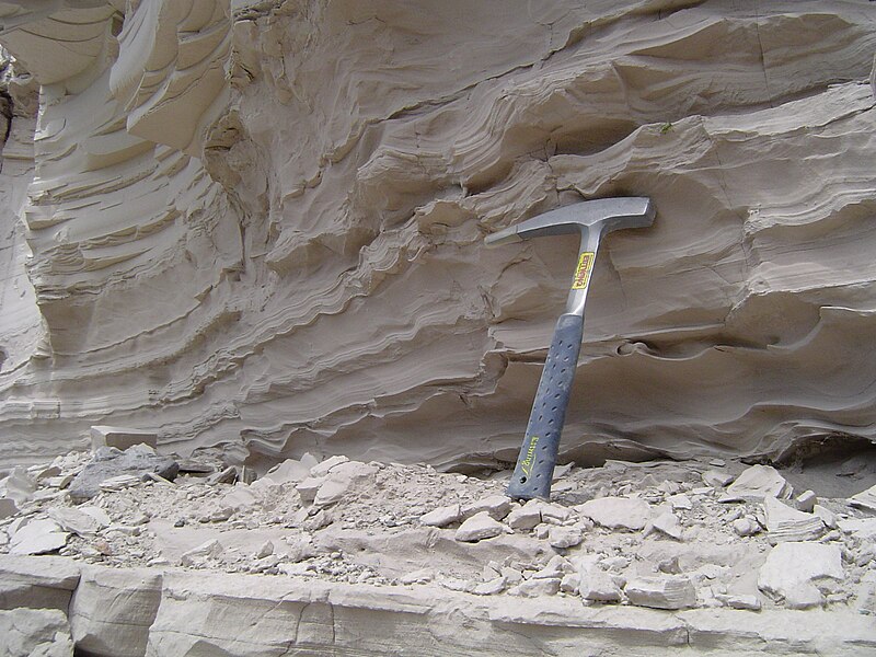
cirque
thumb|Two cirques with semi-permanent snowpatches near Abisko National Park, Sweden
thumb|Upper Thornton Lake Cirque in North Cascades National Park, U.S.
glacial lake
lake formed by a melted glacier

drumlin
thumb|Drumlins around Horicon Marsh, Wisconsin, in an area with one of the highest concentration of drumlins in the world. The curved path of the [[Laurentide Ice Sheet is evident in the orientation of the various mounds.|380px]]
thumb|Elongate and Magellanic subpolar forests|forested drumlins south of [[Puerto Williams, Chile. Flow direction here was at time of formation from west to east (left to right on picture).]]

crevasse
thumb|right|upright=1.3|Transverse crevasses, Chugach State Park, Alaska
A crevasse is a deep crack that forms in a glacier or ice sheet. Crevasses form as a result of the movement and resulting stress associated with the shear stress generated when two semi-rigid pieces above a plastic substrate have different rates of movement. The resulting intensity of the shear stress causes a breakage along the faces.
outwash plain
plain formed from glacier sediment that was transported by water.
kettle
shallow depression formed by a retreating glacier
tunnel valley
U-shaped valley originally cut by water under the glacial ice near the margin of continental ice sheets
Svaneti Range
mountain range in the southwestern Caucasus Mountains, Georgia

Orø
Orø is a small island in Denmark located in the Isefjord within Holbæk Municipality. The island covers and has a population of 1020 (). There are four villages on Orø: Bybjerg, the largest village on the island with a population of 276 (1 January 2025), Brønde, Gamløse and Næsby.
moulin
well-like shaft within a glacier
glacial landform
landforms created by the action of glaciers
rocking stone
large precariously balanced stones

fjard
thumb|The fjard of Somes Sound, [[Maine, USA.]]
Missoula Floods
floods dating from the end of the last ice age, in the USA

ancient river valley
An urstromtal (plural: Urstromtäler) is a type of broad glacial valley, for example, in northern Central Europe, that appeared during the ice ages, or individual glacial periods of an ice age, at the edge of the Scandinavian ice sheet and was formed by meltwaters that flowed more or less parallel to the ice margin. Urstromtäler are an element of the glacial series. The term is German and means "ancient stream valley". Although often translated as "glacial valley", it should not be confused with a valley carved out by a glacier. More accurately some sources call them "meltwater valleys" or "ice
glacier cave
cave formed within the ice of a glacier
Tüttensee
The Tüttensee (Lake Tütten) is a small lake in the Chiemgau region, the Bavarian Alpine foothills of the Traunstein district, within the municipalities of Grabenstätt and Vachendorf. With an area of and a maximum depth of , it is one of many Kettle-Lakes in the alpine foothills, that resulted from remnants of dead ice after a glacier retreated.
glacial stream
Body of liquid water that flows down a channel formed by a glacier
riegel
type of rock formation
Dirt cone
depositional glacial feature of ice or snow with an insulating layer of dirt
Zungenbecken
thumb|The Tollensesee, a glacial finger lake
thumb|150px|Map of the Ammersee showing its elongated shape
Outwash fan
fan-shaped body of sediments deposited by braided streams from a melting glacier
crag and tail
geographic feature created by glaciation
subglacial stream
Hakkâri Cilo and Sat Mountains National Park
national park in Turkey