Category
page 1Historical geography of Pakistan
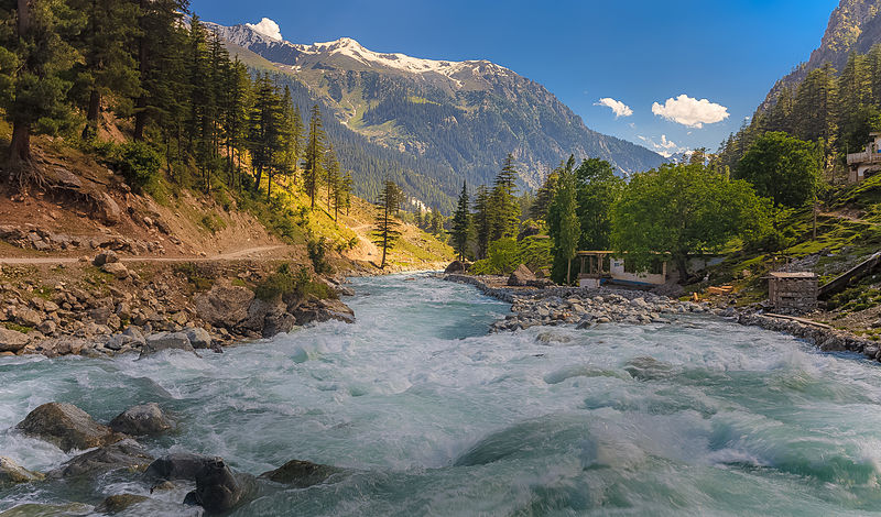
Khyber Pakhtunkhwa
province of Pakistan

Sattagydia Satrapy
thumb|The name for Sattagydia (:Wikt:𐎰𐎫𐎦𐎢𐏁|𐎰𐎫𐎦𐎢𐏁, Thataguš) in the [[DNa inscription of Darius I.]]
Sattagydia or Thatagush (Old Persian: 𐎰𐎫𐎦𐎢𐏁 Thataguš, country of the "hundred cows") was one of the easternmost regions of the Achaemenid Empire, part of its Seventh tax district according to Herodotus, along with Gandārae, Dadicae and Aparytae. It was situated east of the Sulaiman Mountains up to the Indus in the Kurram River basin around Bannu in modern day's southern Khyber Pakhtunkhwa, Pakistan. Sattagydia was no longer mentioned by the third century BC, probably having been a
Uttarapatha
Uttarapatha (Hindi: ) is the name used by ancient Buddhist and Hindu texts to describe the Northern part of Jambudvipa (equivalent of present-day Afro - Eurasia), one of the "continents" in Vedic belief. In modern times, the Sanskrit word uttarapatha is sometimes used to denote the geographical regions of North India, Western India, Central India, Eastern India, Northeast India, Pakistan, Bangladesh, and Nepal in just one term. The pronunciation of the word varies depending on the regional language of the speaker.

Gwadar Purchase
1958 Acquisition of Gwadar by Pakistan
Geological Survey of Pakistan
Government agency