Category
page 1Inclinometers

astrolabe
alt=Planispheric Astrolabe made of brass, cast, with fretwork rete and surface engraving|thumb|upright=1.2|North African, planispheric astrolabe. Khalili Collections|Khalili Collection.
thumb|upright|A modern astrolabe made in 2013, in Tabriz, Iran.

theodolite
thumb|A direct-readout theodolite, manufactured in the Soviet Union in 1958 and used for topographic surveying

spirit level
instrument with a sealed tube of liquid, designed to indicate whether a surface is horizontal (level) or vertical (plumb)
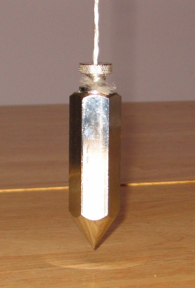
plumbline
weight, usually with a pointed tip on the bottom, suspended from a string and used as a vertical reference line
%20IF%2024935.jpg)
inclinometer
thumb|Drawing of an inclinometer, Museo Galileo, Florence
thumb|Measuring slope with a clinometer
An inclinometer or clinometer is an instrument used for measuring angles of slope, elevation, or depression of an object with respect to gravity's direction. It is also known as a tilt indicator, tilt sensor, tilt meter, slope alert, slope gauge, gradient meter, gradiometer, level gauge, level meter, declinometer, and pitch & roll indicator. Clinometers measure both inclines and declines using three different units of measure: degrees, percentage points, and topos. The astrolabe is an example of a

alidade
right|thumb|A simple alidade for use with a ceiling projector
An alidade () (archaic forms include alhidade, alhidad, alidad) or a turning board is a device that allows one to sight a distant object and use the line of sight to perform a task. This task can be, for example, to triangulate a scale map on site using a plane table drawing of intersecting lines in the direction of the object from two or more points or to measure the angle and horizontal distance to the object from some reference point's polar measurement. Angles measured can be horizontal, vertical or in any chosen plane.
water level
device used for matching elevations
Mariner's astrolabe
Nautical navigational instrument
Archipendulum
thumb|
thumb
The archipendulum is an ancient ancestor of the spirit level and astrolabe, and was used to check whether a line was horizontal or at a desired inclination. It consisted of a handheld A-shaped construction with a plumbline suspended from the top vertex. The horizontal bar of the A was marked at its midpoint, so that the plumbline's coincidence with this point indicated that the bases of the two legs were at the same level. Other gradations on the horizontal bar enabled the user to construct or verify inclined lines. The same methods of use apply to the inverted 'T' which is simply
Tiltmeter
thumb|right|A tiltmeter on Mauna Loa, used to predict eruptions by measuring very small changes in the profile of the mountain.
bull's eye level
type of spirit level that allows for the leveling of planes in two dimensions at once