Category
page 1Kʼicheʼ
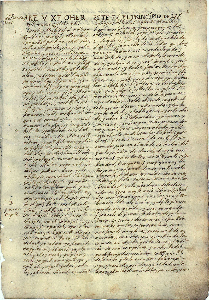
Popol Vuh
sacred text of the Maya
Totonicapán Department
department in Guatemala
K’iche’
Mayan language spoken by the K'iche' people
Takalik Abaj
pre-Columbian archaeological site in Guatemala

Chichicastenango
Chichicastenango, also known as Santo Tomás Chichicastenango, is a town, with a population of 71,394 (2018 census), and the municipal seat for the surrounding municipality of the same name in the El Quiché department of Guatemala. It is located in a mountainous region about northwest of Guatemala City, at an altitude of 1,965 m (6,447 ft). The Spanish conquistadors gave the town its name from the Nahuatl name used by their allied soldiers from Tlaxcala: Tzitzicaztenanco, or City of Nettles. Its original name was Chaviar.
Kʼicheʼ
ethnic group, one of the Maya peoples

Quiché' Kingdom of Q'umarkaj
capital city of the pre-Columbian K'iche' Maya of highland Guatemala.

Zaculeu
Zaculeu or Saqulew is a pre-Columbian Maya archaeological site in the highlands of western Guatemala, about outside the modern city of Huehuetenango. Occupation at the site dates to the Early Classic period (AD 250–600) of Mesoamerican history. Zaculeu was the capital of the Postclassic Mam kingdom, and was conquered by the Kʼicheʼ Kingdom of Qʼumarkaj. It displays a mixture of Mam and Kʼicheʼ style architecture.
.jpg)
Qʼumarkaj
Qʼumarkaj (Kʼicheʼ: ) (sometimes rendered as Gumarkaaj, Gumarcaj, Cumarcaj or Kumarcaaj) is an archaeological site in the southwest of the El Quiché department of Guatemala. Qʼumarkaj is also known as Utatlán, the Nahuatl translation of the city's name. The name comes from Kʼicheʼ Qʼumarkah "Place of old reeds".
Cerro Quiac
Small Maya archaeological site
Título de Totonicapán
Wikimedia list article