Category
page 1Provinces and territories of Canada

Quebec

Ontario
Ontario ( ; ) is the southernmost province of Canada. Located in Central Canada, Ontario is the country's most populous province. As of the 2021 Canadian census, it is home to over 14 million people, which is 38.5% of the country's population. Ontario is the second-largest province by total area (after Quebec) and the fourth-largest jurisdiction of all the Canadian provinces and territories. It is home to the nation's capital, Ottawa, and its most populous city, Toronto, which is Ontario's provincial capital.

British Columbia
province of Canada

Alberta
Alberta is a province in Canada. It is a part of Western Canada and is one of the three prairie provinces. Alberta is bordered by British Columbia to its west, Saskatchewan to its east, the Northwest Territories to its north, and the U.S. state of Montana to its south. Alberta and Saskatchewan are the only two landlocked Canadian provinces. The eastern part of the province is occupied by the Great Plains, while the western part borders the Rocky Mountains. The province has a predominantly continental climate, but seasonal temperatures tend to swing rapidly because it is so arid. Those swings a
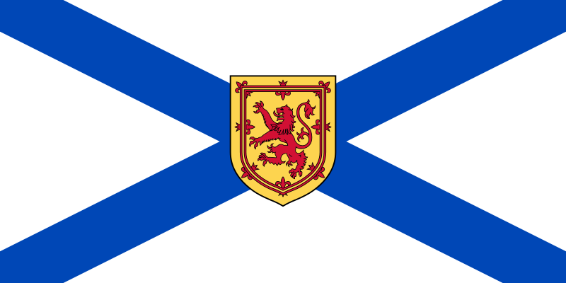
Nova Scotia
province of Canada

Manitoba
Manitoba is a province of Canada at the longitudinal centre of the country. It is Canada's fifth-most populous province, with a population estimated at 1,507,057 in 2025. Manitoba has a widely varied landscape, from arctic tundra and the Hudson Bay coastline in the north to dense boreal forest, large freshwater lakes, and prairie grassland in the central and southern regions. Manitoba's capital and largest city is Winnipeg.

Saskatchewan
Saskatchewan is a province in Western Canada. It is bordered to the west by Alberta, to the north by the Northwest Territories, to the east by Manitoba, to the northeast by Nunavut, and to the south by the United States (Montana and North Dakota). Saskatchewan and neighbouring Alberta are the only landlocked provinces in Canada. In 2025, Saskatchewan's population was estimated at 1,266,234. Nearly 10% of Saskatchewan's total area of is fresh water, mostly rivers, reservoirs, and lakes.

Nunavut
Nunavut is the largest and northernmost territory of Canada. It was separated from the Northwest Territories on April 1, 1999, via the Nunavut Act and the Nunavut Land Claims Agreement Act, which provided this territory to the Inuit for self-government. The boundaries had been drawn in 1993. The creation of Nunavut resulted in the first major change to Canada's political map in half a century since the province of Newfoundland (now Newfoundland and Labrador) was admitted in 1949.
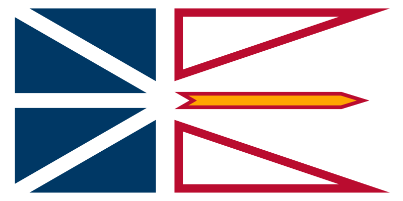
Newfoundland and Labrador
province of Canada
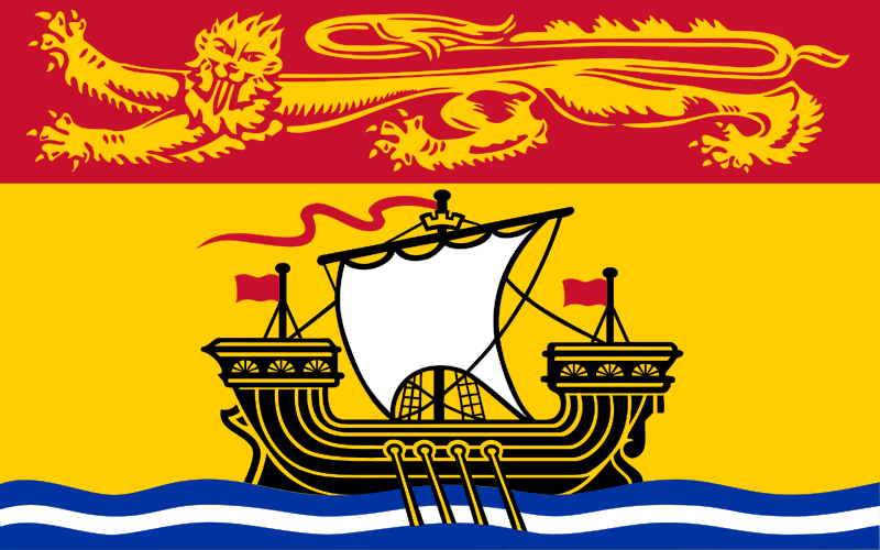
New Brunswick
province of Canada

Yukon
Yukon () is a territory of Canada, bordering British Columbia to the south, the Northwest Territories to the east, the Beaufort Sea to the north, and the U.S. state of Alaska to the west. It is Canada's westernmost and smallest territory by land area. As of the 2021 census, Yukon is the middle of the three territories in terms of population, but the most densely populated. fourth quarter estimates Yukon had a population of 48,261. Whitehorse, the territorial capital, is the largest city in northern Canada.
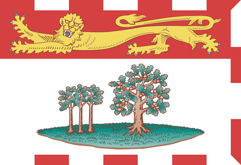
Prince Edward Island
province of Canada

Northwest Territories
territory of Canada

province or territory of Canada
top-level subdivisions of Canada
ISO 3166-2:CA
entry for Canada in ISO 3166-2
territorial evolution of Canada
aspect of Canadian history