Category
page 1Surveying instruments

theodolite
thumb|A direct-readout theodolite, manufactured in the Soviet Union in 1958 and used for topographic surveying
plumbline
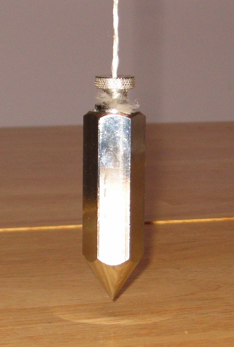
weight, usually with a pointed tip on the bottom, suspended from a string and used as a vertical reference line

tape measure
flexible ruler used to measure size or distance
total station
combined electronic theodolite and electronic distance meter; used in surveying and building construction
dumpy level
optical instrument used to establish or check points in the same horizontal plane

goniometer
thumb|Goniometer made by Develey le Jeune in Lausanne, late 18th–early 19th century

invar
thumb|Samples of Invar
thumb|350px|right|The coefficient of thermal expansion of nickel/iron alloys is plotted here against the nickel percentage (on a mass basis) in the alloy. The sharp minimum occurs at the Invar ratio of 36% Ni.
%20IF%2024935.jpg)
inclinometer
thumb|Drawing of an inclinometer, Museo Galileo, Florence
thumb|Measuring slope with a clinometer
An inclinometer or clinometer is an instrument used for measuring angles of slope, elevation, or depression of an object with respect to gravity's direction. It is also known as a tilt indicator, tilt sensor, tilt meter, slope alert, slope gauge, gradient meter, gradiometer, level gauge, level meter, declinometer, and pitch & roll indicator. Clinometers measure both inclines and declines using three different units of measure: degrees, percentage points, and topos. The astrolabe is an example of a

alidade
right|thumb|A simple alidade for use with a ceiling projector
An alidade () (archaic forms include alhidade, alhidad, alidad) or a turning board is a device that allows one to sight a distant object and use the line of sight to perform a task. This task can be, for example, to triangulate a scale map on site using a plane table drawing of intersecting lines in the direction of the object from two or more points or to measure the angle and horizontal distance to the object from some reference point's polar measurement. Angles measured can be horizontal, vertical or in any chosen plane.
sight
device for alignment and aiming of a weapon
laser rangefinder
range finding device using a laser beam to measure distance
Jacob's staff
calibrated wooden rod with sliding crosspiece used for measuring the altitude of celestial bodies or the height of distant objects

pentaprism
thumb|right|300px|A pentaprism.
right|thumb|300px|A perspective drawing showing a roof pentaprism commonly used in a single lens reflex camera (SLR). The image is flipped laterally by the prism.
A pentaprism is a five-sided reflecting prism used to deviate a beam of light by a constant 90°, even if the entry beam is not at 90° to the prism.
The beam reflects inside the prism twice, allowing the transmission of an image through a right angle without inverting it (that is, without changing the image's handedness) as an ordinary right-angle prism or mirror would.

Dioptra
thumb|Graphic reconstruction of the dioptra, by Venturi, in 1814. (An incorrect interpretation of Heron's description)
Groma surveying
principal Roman surveying instrument
level staff
graduated wooden or aluminum rod, used with a levelling instrument
rotary laser
laser tool with rotating, strong dot, often suitable for outdoor use
plane table
device used in surveying and related disciplines to provide a solid and level surface on which to make field drawings, charts and maps
heliotrope
measuring instrument
surveyor's wheel
distance-measuring device
filar micrometer
specialized eyepiece

tacheometry
thumb|Diagram of measurements: D is the slant distance; S is the horizontal distance; Δh is the vertical distance.
graphometer
thumb|Butterfield compass graphometer
thumb|A German graphometer in Göttingen, Stadtmuseum. The instrument is on its side. At the back, the socket for a Jacob's staff can be seen.
The graphometer, semicircle or semicircumferentor is a surveying instrument used for angle measurements. It consists of a semicircular limb divided into 180 degrees and sometimes subdivided into minutes. The limb is subtended by the diameter with two sights at its ends. In the middle of the diameter a "box and needle" (compass) is fixed. On the same middle the alidade with two other sights is fitted. The device is mo
gyrotheodolite
thumb|A Wild Heerbrugg|Wild GAK gyroscope mounted on a Wild T-16 theodolite.
In surveying, a gyrotheodolite (also: surveying gyro) is an instrument composed of a gyrocompass mounted to a theodolite. It is used to determine the orientation of true north. It is the main instrument for orientation in mine surveying and in tunnel engineering, where astronomical star sights are not visible and GPS does not work.
optical square
Tellurometer
thumb|Tellurometer model M/RA-1
thumb|Tellurometer model MRB2
Gunter's chain
distance measuring device used for surveying
Laser tracker
instruments that accurately measure large objects
tribrach
mounting plate between a surveying instrument and its tripod
ranging rod
Surveying instrument
repeating circle
type of angular measurement instrument, notably used for navigation
Osborne Fire Finder
line-of-sight device for locating fires
Georg Friedrich Brander
German precision mechanic and mathematician
Geodimeter
__NOTOC__
thumb|upright=1.35|Operator controls and sight of a Geodimeter
The Geodimeter (acronym of geodetic distance meter) was the first optical electronic distance meter surveying instrument.
It was originally developed for measuring the speed of light.
It was invented in 1947 by and commercialized in 1953 by the AGA (Aktiebolaget Gasaccumulator) company of Sweden.
It was used in the Transcontinental Traverse.