Category
page 1Öland

Kalmar County
county (län) In Sweden

Öland
Öland (, ; ; sometimes written Oland internationally) is the second-largest Swedish island and the smallest of the traditional provinces of Sweden. Öland has an area of and is located in the Baltic Sea just off the coast of Småland. The island has over 26,000 inhabitants.

Borgholm Municipality
municipality in Kalmar County, Sweden
Kalmar Strait
strait in the Baltic Sea between Öland and Småland in Sweden
Öland Bridge
road bridge connecting mainland Sweden with Swedish Baltic Sea island of Öland
Stora Alvaret
alvar
Battle of Öland
1676 naval battle between an allied Danish-Dutch fleet and the Swedish navy in the Baltic Sea
Template:Country data Öland
Wikimedia template
.jpg)
rauk
thumb|upright=1.2|Rauks (wikt:rauk#Gutnish|rauks) at [[Fårö Island, east of mainland Sweden]]
Torslunda helmet plate patrices
ancient bronze moulds of mythological images
Öland County
county in Sweden between 1819 and 1826

Gettlinge
thumb|300px|Viking stone ship at Gettlinge, [[Öland, Sweden.]]
Action of 30 May 1564
1564 battle
Hulterstad
thumb|Hulterstad
Hulterstad is a small coastal town on the southeastern part of the island of Öland, Sweden. Hulterstad is situated at the eastern fringe of the Stora Alvaret, a limestone pavement habitat which hosts a diversity of rare plants and has been designated a World Heritage Site by UNESCO. Hulterstad is the municipal government center for this district and central records for centuries were kept at the Hulterstad Church. Significant gravefields and a Viking stone burial ship structure are located immediately south of Hulterstad. To the north is located the village of Alby, where a Me
Grankullaviken
thumb|right|350px|Grankullaviken and surroundings.
Grankullaviken (or Grankullavik) is a shallow bay at the northern tip of Öland, Sweden, located in Böda socken, Borgholm Municipality. The bay is almost completely enclosed by two headlands and a few small shoal islands (Stora grundet, Borren, and Lilla grundet). Grankullavik is also the name of a village on the bay. The lighthouse Långe Erik on the Stora grundet island is officially named Ölands norra udde (Öland's northernmost point), even though the western headland extends a bit further north than the island upon which it stands. The easte
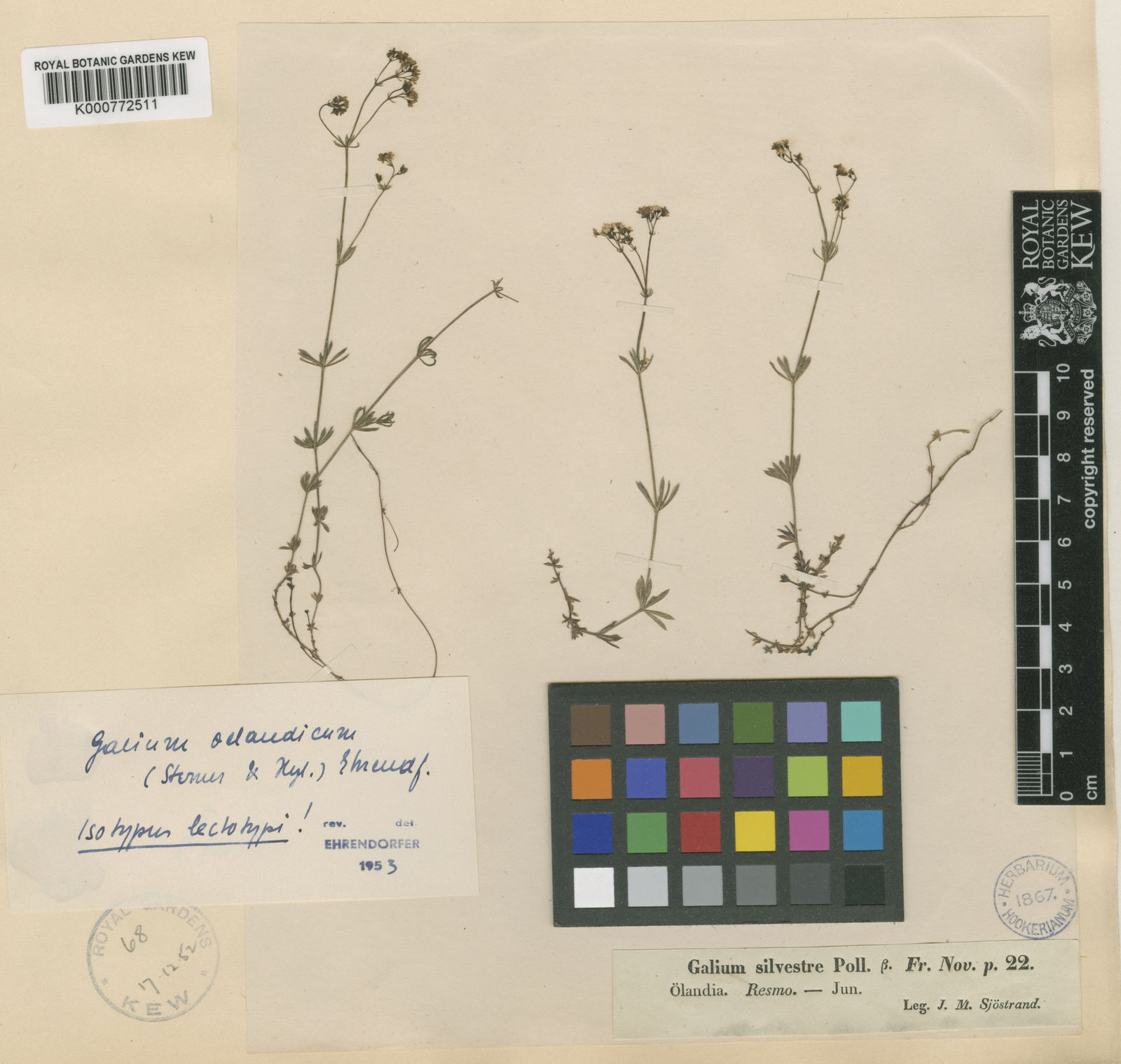
Galium oelandicum
species of plant
Battle of Öland
naval battle on 26 July, 1789 during the Russo-Swedish War
Kapelludden
thumb|right|300px|Fishing sheds and the ruins of a chapel dedicated to Saint Birgitta
Kapelludden is a wetland on the east coast of the island of Öland, Sweden, some four kilometers from the village of Bredsättra in Bredsättra socken, Borgholm Municipality. The area is rich in birdlife, and has important cultural remains (including the ruins of Saint Birgitta's chapel) and a functioning Kapelludden lighthouse.