Category
page 1Cartography

geographic coordinate system
system to specify locations on Earth

map
thumb|Map of the world published in Amsterdam in the 17th century

cartography
thumb|upright=1.35|A medieval depiction of the Ecumene (1482, Johannes Schnitzer, engraver), constructed after the coordinates in Ptolemy's Geography and using his second map projection. The translation into Latin and dissemination of Geography in Europe, in the beginning of the 15th century, marked the rebirth of scientific cartography, after more than a millennium of stagnation.

geodesy
thumb|upright=1.05|A modern instrument for geodetic measurements using satellites

azimuth
right|thumb|The azimuth is the angle formed between a reference direction (in this example north) and a sightline|line from the observer to a point of interest projected on the same plane as the reference direction orthogonal to the [[zenith.]]

topography
thumb|upright=1.3|A topographic map of Stowe, Vermont with [[contour lines]]
thumb|upright|This false color|false-color satellite image illustrates topography of the urban core of the [[New York metropolitan area, with Manhattan at its center.]]

summit
thumb|upright=1.05|A climber taking the final few steps to the summit of Imja Tse (Island Peak) in [[Nepal, 2004]]
thumb|View from the summit of Switzerland's highest peak, [[Monte Rosa]]

geographic location
thumb|An icon representing the concept of location
In geography, location or place is used to denote a region (point, line, or area) on Earth's surface. The term location generally implies a higher degree of certainty than place, the latter often indicating an entity with an ambiguous boundary, relying more on human or social attributes of place identity and sense of place than on geometry. A populated place is called a settlement.

astronomical coordinate system
spherical coordinate system
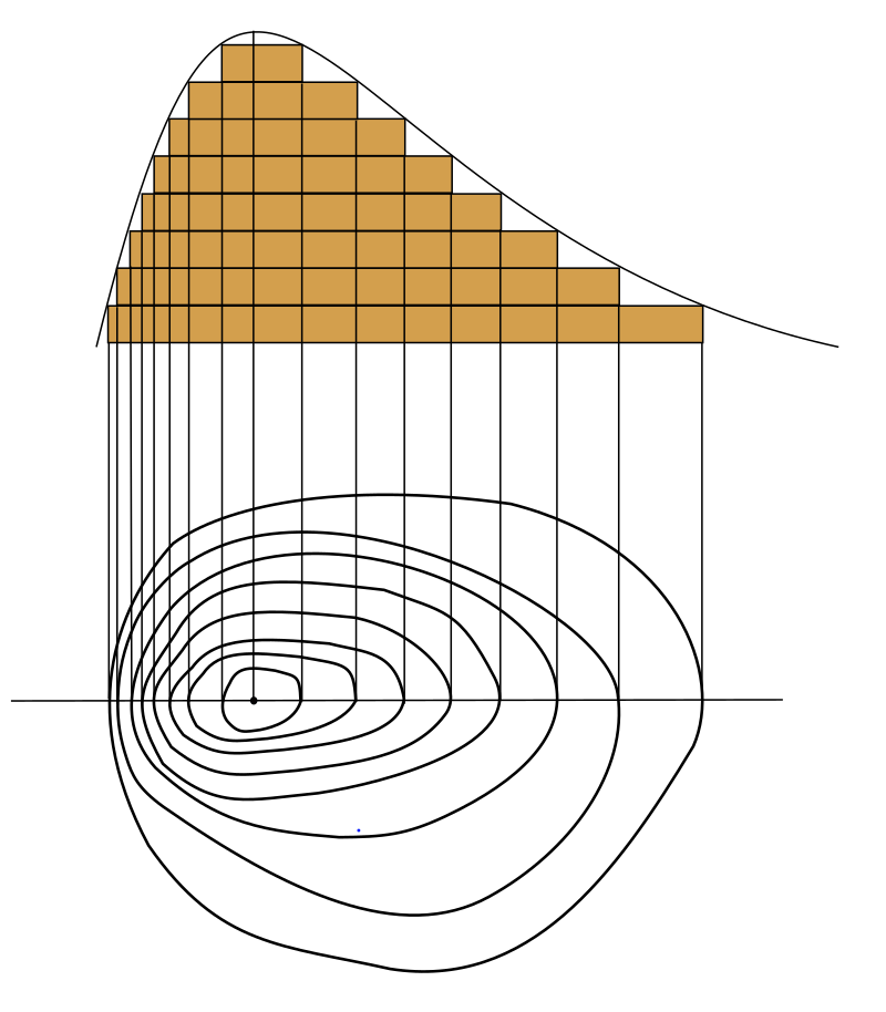
contour line
curve joining points with equal value on a 2D graphic representation

map projection
representation of the surface of a sphere or ellipsoid onto a plane map

scale
ratio of a distance on the map to the corresponding distance on the ground

Tartary
thumb|300px| Cary's Map of independent Tartary (in yellow) and Chinese Tartary (in violet), in 1808.
Tartary (Latin: Tartaria; ; ; ) or Tatary () was a blanket term used in Western European literature and cartography for a vast part of Asia bounded by the Caspian Sea, the Ural Mountains, the Pacific Ocean, and the northern borders of China, India, and Persia, at a time when this region was largely unknown to European geographers.

compass rose
figure on a compass, map, nautical chart, or monument used to display the orientation of the cardinal directions

bathymetry
thumb|upright=1.7|
thumb|right|Animation reveals oceanic floors and seabeds. Continental shelves appear mostly by a depth of 140 meters, [[mid-ocean ridges by 3000 meters, and oceanic trenches at depths beyond 6000 meters.]]
thumb|right|A seafloor map captured by NASA
rhumb line
arc crossing all meridians of longitude at the same angle

selenography
thumb|right|345px|alt=Topography of the Moon measured from the Lunar Orbiter Laser Altimeter on the mission Lunar Reconnaissance Orbiter, referenced to a sphere of radius 1737.4 km|Topography of the Moon.
thumb|Moon 360 animation in 4K resolution|4K
planimetrics
Planimetrics is the study of plane measurements, including angles, distances, and areas.
Universal Transverse Mercator
cartographic coordinate system

distortion
In signal processing, distortion is the alteration of the original shape (or other characteristic) of a signal. In communications and electronics it means the alteration of the waveform of an information-bearing signal, such as an audio signal representing sound or a video signal representing images, in an electronic device or communication channel.
coastline paradox
counterintuitive observation that the coastline of a landmass does not have a well-defined length

areography
thumb|340px|A high-resolution colorized map of Mars based on Viking program|Viking orbiter images. Surface frost and water ice fog brighten the impact basin Hellas to the right of lower center; Syrtis Major just above it is darkened by winds that sweep dust off its basaltic surface. Residual north and south polar ice caps are shown at upper and lower right as they appear in early summer and at minimum size, respectively.
bird's-eye view
view of an object from above

orthophoto
thumb|right|Orthographic views project at a right angle to the datum plane. Perspective views project from the surface onto the datum plane from a fixed location.
thumb|Aerophotogrammetry, orthophoto from unmanned aerial vehicle|drone, Città Alta, [[Bergamo, Italy.]]
thumb|This photo is properly projected on elevation model, yet on a single building scale, a small tilt is noticeable. This is an orthophoto, but not a true orthophoto (not all vertical features are reprojected).
thumb|This photo is assembled from several overlapping photos from UAV, completely removing any residual tilt of the bu
spherical Earth
assertion that the Earth is (at least approximately) spherical
terra incognita
'unknown land', area not mapped by cartographers
True north
direction on Earth's surface
.jpg)
curvimeter
thumbnail|An opisometer
45×90 points
four points on Earth which are halfway between the geographical poles, the equator, the Prime Meridian, and the 180th meridian
here be dragons
phrase used on maps to indicate uncharted areas

chorography
Chorography (from χῶρος khōros, "place" and γράφειν graphein, "to write") is the art of describing or mapping a region or district, and by extension such a description or map. This term derives from the writings of the ancient geographer Pomponius Mela and Ptolemy, where it meant the geographical description of regions. However, its resonances of meaning have varied at different times. Richard Helgerson states that "chorography defines itself by opposition to chronicle. It is the genre devoted to place, and chronicle is the genre devoted to time". Darrell Rohl prefers a broad definition of "th
quadrangle
large area in geology or geography
.jpg)
ARINC
Aeronautical Radio, Incorporated (ARINC), established in 1929, was a major provider of transport communications and systems engineering solutions for eight industries: aviation, airports, defense, government, healthcare, networks, security, and transportation. ARINC had installed computer data networks in police cars and railroad cars and also maintains the standards for line-replaceable units.

bioregion
thumb|Primary drainage basins in Canada
A bioregion is a geographical area defined not by administrative boundaries, but by distinct characteristics such as plant and animal species, ecological systems, soils and landforms, human settlements, and topographic features such as drainage basins (also referred to as "watersheds"). A bioregion can be on land or at sea. The idea of bioregions was adopted and popularized in the mid-1970s by a school of philosophy called bioregionalism, which includes the concept that human culture can influence bioregional definitions due to its effect on non-cultural
map symbol
graphical symbol used to identify items on a map, including points, lines, or fields
fundamental plane
plane of reference that divides the sphere into two hemispheres
chart datum
level of water that charted depths displayed on a nautical chart are measured from
projected coordinate system
locations on maps using Cartesian coordinates

3D scanning
analyzing a real-world object or environment to collect data on its shape and possibly its appearance (e.g. colour)
linear scale
graphical representation of the ratio between distance on a map and distance in the real world
route planning software
computer software program designed to plan an optimal route between two geographical locations using a journey planner specialized for road networks

toposcope
thumb|Slate toposcope at the top of [[Roundton Hill, with North prominently marked.]]
A toposcope, topograph, or orientation table is a kind of graphic display erected at viewing points on hills, mountains or other high places which indicates the direction, and usually the distance, to notable landscape features which can be seen from that point. They are often placed in public parks, country parks, the grounds of stately homes, at popular vantage points (especially accompanying or built into triangulation stations) or places of historical note, such as battlefields.
geovisualization
Geovisualization or geovisualisation (short for geographic visualization), also known as cartographic visualization, refers to a set of tools and techniques supporting the analysis of geospatial data through the use of interactive visualization.
minimum bounding rectangle
smallest rectangle which encloses some planar set of points
world file
GIS file format
map–territory relation
relationship between an object and a representation of that object
hypsometric tints
use of color to mark elevation in a map
phantom settlement
settlement that appears on a map but does not actually exist
trap street
fictitious entry in the form of a misrepresented street on a map
DeLorme
DeLorme Publishing Company was a producer of personal satellite tracking, messaging, and navigation technology. On February 11, 2016, the company announced that it had been purchased by Garmin, another multinational producer of GPS products and services.
rutter
mariner's handbook of written sailing directions
visual analytics
area of research
Panoramax
Panoramax is a project to collect and display street-level imagery. The project is implemented as free/open source software and allows the crowdsourcing of images, which are then openly licensed. The project was started in 2022 by the French National Geographic Institute (''Institut national de l'information géographique et forestière'', IGN) and the French OpenStreetMap (OSM) chapter. It was designed and developed by a state-owned start-up and is updated and maintained by a community of volunteers and IGN staff. As a free & open source alternative to Google Street View, Panoramax is a federat
spatial scale
extent or size of a length, distance, or area being studied or described
terrain mapping
cartographic representation of elevation on maps in terrain cartography
sand table
table using constrained sand for modelling or educational purposes
Graticule
grid on a map, depicting a coordinate system
geographical distance
distance measured along the surface of the earth
worm's-eye view
view of an object from below

robotic mapping
creation and use of maps by robots