File:World_Map_1689.JPG · Wikimedia Commons · See Wikimedia Commons
map
Also known as chart, maps, charts
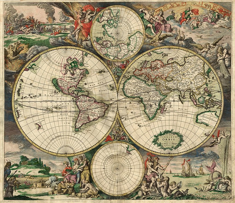
thumb|Map of the world published in Amsterdam in the 17th century
AI overview
A map is a visual representation of an area of land or the world drawn on a flat surface, showing the locations of places and features like cities, borders, and geography. Maps have been important tools for navigation, exploration, and understanding our world since at least the 17th century, when they were being produced and published by places like Amsterdam.
AI-generated from the Wikipedia summary — may contain errors.
Research
298,532 papers- MAP kinase kinase kinases and innate immunity.ReviewTrends in immunology · 2006Symons A, Beinke S, Ley SCDOI: 10.1016/j.it.2005.11.007
- Mycobacterium avium subspecies paratuberculosis (MAP) and Crohn's disease: the debate continues.ReviewTranslational gastroenterology and hepatology · 2023Mintz MJ, Lukin DJDOI: 10.21037/tgh-23-16
- Single-trajectory map equation.Scientific reports · 2023Kawamoto TDOI: 10.1038/s41598-023-33880-y
- TNF and MAP kinase signalling pathways.ReviewSeminars in immunology · 2014Sabio G, Davis RJDOI: 10.1016/j.smim.2014.02.009
~28 min read
Article
27 sectionsContents
- History
- Geography
- Orientation
- Scale and accuracy
- Projection
- Symbols
- Design
- Types{{anchor|Map_types_and_projections}}
- General
- Climatic{{anchor|Climate}}
- Extraterrestrial
- Topological
- Extremely large maps
- The Great Polish Map of Scotland
- Challenger Relief Map of British Columbia
- Relief map of Guatemala
- List
- Legal regulation
- See also
- General
- Map designing and types
- Map history
- Related topics
- References
- Citations
- Bibliography
- External links
thumb|Map of the world published in Amsterdam in the 17th century
A map is a depiction of interrelationships, commonly spatial, between things within a space. A map may be annotated with text and graphics. Like any graphic, a map may be fixed to paper or other durable media, or may be displayed on a transitory medium such as a computer screen. Some maps change interactively. Although maps are commonly used to depict geographic elements, they may represent any space, real or fictional. The subject being mapped may be two-dimensional such as Earth's surface, three-dimensional such as Earth's interior, or from an abstract space of any dimension.