Category
page 1Escarpments of Africa

Drakensberg
The Drakensberg (Zulu: uKhahlamba, Sotho: Maloti, Afrikaans: Drakensberge) is the eastern portion of the Great Escarpment, which encloses the central Southern African plateau. The Great Escarpment reaches its greatest elevation – within the border region of South Africa and Lesotho.
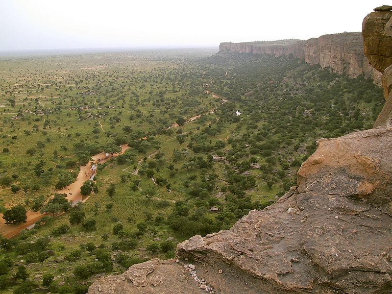
Bandiagara Escarpment
Escarpment in Dogon country of Mali

Witwatersrand
The Witwatersrand (, ; ; locally the Rand or, less commonly, the Reef) is a , north-facing scarp in South Africa. It consists of a hard, erosion-resistant quartzite metamorphic rock, over which several north-flowing rivers form waterfalls, which account for the name Witwatersrand, meaning 'white water ridge' in Afrikaans. This east-west-running scarp can be traced with only one short gap, from Bedfordview (about west of O.R. Tambo International Airport) in the east, through Johannesburg and Roodepoort, to Krugersdorp in the west (see the diagram at left below).
Great Escarpment
major geological formation in Southern Africa
Halfaya Pass
mountain pass
Mariepskop
thumb|right|250px|Mariepskop in the background, with the conical Maseroto peak in the foreground. The flat mountaintop afforded refuge to various harried tribes during the Mfecane.
Mariepskop (also Marepe or Maripekop), at 1,947 m above sea level, is one of the highest peaks in the northern Drakensberg, and the highest point of the Blyde River Canyon, South Africa. It is situated at the junction of three conservation areas, namely the Mariepskop Forest Reserve, Mariepskop State Forest, and the Blyde River Canyon Nature Reserve. The mountain is bordered by sheer cliff faces on several side