Category
page 1Former English colonies

Suriname
Suriname, officially the Republic of Suriname, is a country in northern South America, also considered as part of the Caribbean and the West Indies. Situated slightly north of the equator, over 90% of its territory is covered by rainforest, the highest proportion of forest cover in the world. Suriname is bordered by the Atlantic Ocean to the north, French Guiana to the east, Brazil to the south, and Guyana to the west. It is the smallest country in South America by both population and territory, with around inhabitants in 2021 in an area of approximately . The capital and largest city is Param
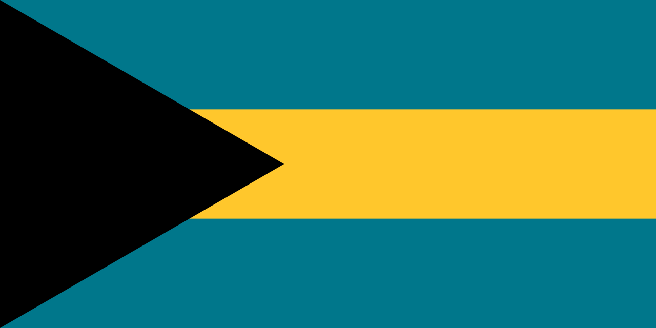
The Bahamas
The Bahamas, officially the Commonwealth of the Bahamas, is an archipelagic country located within the Lucayan Archipelago in the Atlantic Ocean. The country comprises more than 3,000 islands, cays and islets in the Atlantic Ocean, located north of Cuba and north-west of the island of Hispaniola and the Turks and Caicos Islands, southeast of the US state of Florida and east of the Florida Keys. The capital and largest city is Nassau on the island of New Providence. The Royal Bahamas Defence Force describes the Bahamas' territory as encompassing 470,000 km2 (180,000 sq mi) of ocean space.

Barbados
Barbados is an island country in the Caribbean located in the Atlantic Ocean. It is part of the Lesser Antilles of the West Indies and the easternmost island of the Caribbean region. It lies on the boundary of the South American and Caribbean plates. Its capital and largest city is Bridgetown.

Cayman Islands
British overseas territory in the Caribbean
Anguilla
Anguilla is a British Overseas Territory in the Caribbean. It is one of the most northerly of the Leeward Islands in the Lesser Antilles, lying east of Puerto Rico and the Virgin Islands and directly north of Saint Martin. The territory consists of the main island of Anguilla, approximately long by wide at its widest point, together with a number of much smaller islands and cays with no permanent population. The territory's capital is The Valley. The total land area of the territory is , with a population of approximately in .
Montserrat
Montserrat ( , ) is a British Overseas Territory in the Caribbean. It is part of the Leeward Islands, the northern portion of the Lesser Antilles chain of the West Indies. Montserrat is about long and wide, with roughly of coastline. It is nicknamed "The Emerald Isle of the Caribbean" both for its resemblance to coastal Ireland and for the Irish ancestry of many of its inhabitants. Montserrat is the only non-fully sovereign full member of the Caribbean Community and the Organisation of Eastern Caribbean States, although it is not the only dependency in the Caribbean.

Barbuda
Barbuda (; ) is an island and dependency located in the eastern Caribbean forming part of the twin-island state of Antigua and Barbuda as an autonomous entity. Barbuda is located approximately north of Antigua. The only settlements on the island are Codrington and its surrounding localities. Barbuda is a flat island with the western portion being dominated by Codrington Lagoon, and the eastern portion being dominated by the elevated plateau of the Barbuda Highlands, with salty ponds and scrubland spread throughout the island. The climate is classified as tropical marine.
Archipelago of San Andrés, Providencia and Santa Catalina
department of Colombia

Antigua
thumb|Turner Beach in Antigua

Bioko
thumb|View of Bioko from satellite
Bioko (; ; ; historically known as Fernando Pó, ) is an island of Equatorial Guinea. It is located south of the coast of Cameroon, and northwest of the northernmost part of mainland Equatorial Guinea. Malabo, on the north coast of the island, is the former capital city of Equatorial Guinea. Bioko's population was 335,048 at the 2015 census and it covers an area of , making it the fourth largest island in Africa (after Madagascar, Socotra and Tenerife). The island is part of the Cameroon line of volcanoes and is located off the Cameroon coast, in the Bight of

Saint Kitts
island in Saint Kitts and Nevis

Jamestown
fort and town established in the Virginia Colony

New Netherland
17th-century Dutch colony on the East Coast of North America

Kunta Kinteh Island
island in Gambia

Tortola
Tortola () is the largest and most populated island of the British Virgin Islands, a group of islands that form part of the archipelago of the Virgin Islands. It has a surface area of with a total population of 23,908, with 9,400 residents in Road Town. Mount Sage is its highest point at above sea level.

Plymouth Colony
17th century English possession in North America

Roanoke Colony
former colony in present-day Dare County, North Carolina, US (1585–1590)
Rupert's Land
territory in British North America

Anegada
Anegada is the northernmost of the British Virgin Islands (BVI), a group of islands that form part of the archipelago of the Virgin Islands. It lies about north of Virgin Gorda. Anegada is the only inhabited British Virgin Island formed from coral and limestone, rather than of volcanic origin. While the other islands are mountainous, Anegada is flat and low. Its highest point is only about above sea level, earning it its name, which is from the Spanish for "flooded land", tierra anegada.
Virgin Gorda
island which is part of the British Virgin Islands

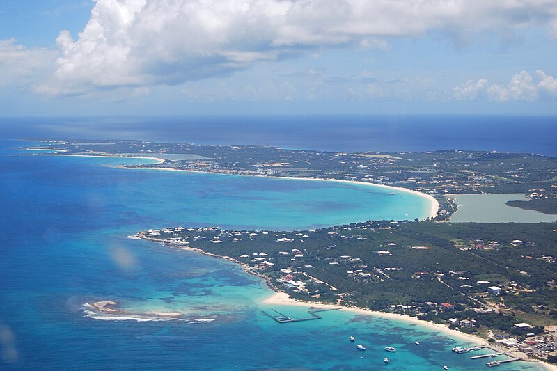
Eleuthera
Eleuthera () refers both to a single island in the archipelagic state of the Commonwealth of the Bahamas and to its associated group of smaller islands. Eleuthera forms a part of the Great Bahama Bank. The island of Eleuthera incorporates the smaller Harbour Island. "Eleuthera" derives from the feminine form of the Greek adjective ἐλεύθερος (eleútheros), meaning "free". Known in the 17th century as Cigateo, it lies 80 km (50 miles) east of Nassau. It is long and thin—180 km (110 miles) long and in places little more than 1.6 km (1.0 mile) wide. At its narrowest point, the Glass
Colony of Virginia
former British colony in North America
Massachusetts Bay Colony
English possession in North America between 1628 and 1684
Mosquitia
Occupied territory in Central America
Rhun Island
island in Central Maluku Regency, Maluku Province, Indonesia
Province of New York
former colony in North America, part of Great Britain
plantations of Ireland
history of British colonization of Ireland
Province of Maryland
former colony in North America, part of Great Britain
Province of Pennsylvania
former colony in North America, part of Great Britain
Province of Carolina
British province in North America and the Caribbean (1663–1712)
Connecticut Colony
former colony in North America, part of Great Britain
Province of New Jersey
former colony in North America, part of Great Britain
British Leeward Islands
former British colony (1671–1816), reunited later as a federal colony (1833–1960), located in the Caribbean
Colony of Rhode Island and Plantations
former colony in North America, part of Great Britain
Newfoundland Colony
Area in Northern American continent now in Canada
Delaware Colony
former colony in North America, part of Great Britain
New Haven Colony
English possession in North America between 1639 and 1665
Colony of Jamaica
British colony on the island of Jamaica, 1655–1962
Ferryland
Ferryland is a town in Newfoundland and Labrador on the Avalon Peninsula. According to the 2021 Statistics Canada census, its population is 371.
Province of Maine
English 17th century possessions in North America
Saybrook Colony
English possession in North America between 1635 and 1644
East Jersey
English possession in North America between 1674 and 1702
Gardiners Island
island in Suffolk County, New York, United States
West Jersey
English possession in North America between 1674 and 1702
Popham Colony
short lived English colony in present day Maine, United States
Dog Island
island in Gamibia
Cuttyhunk Island
island in Dukes County, Massachusetts, United States
Renews-Cappahayden

New England
reputed Byzantine colony on the Black Sea
Province of Avalon
archaeological site in Ferryland, Canada
history of Georgia
history of the state of the United States