Category
page 1Nautical charts

portolan chart
nautical charts, first made in the 13th century
nautical chart
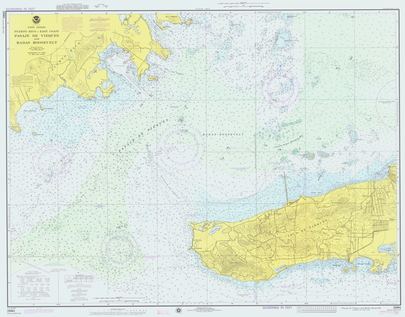
topographic map of a maritime area and adjacent coastal regions
OpenSeaMap
OpenSeaMap is a software project collecting freely usable nautical information and geospatial data to create a worldwide nautical chart. This chart is available on the OpenSeaMap website, and can also be downloaded for use as an electronic chart for offline applications.
chart datum
level of water that charted depths displayed on a nautical chart are measured from
electronic navigational chart
digital nautical map for navigation on water
OpenCPN
OpenCPN (Open Chart Plotter Navigator) is a free software maritime chart plotter and navigation software for use underway or as a planning tool. Developed by a team of active sailors and tested in real world conditions, it has multiple supported chart formats and a variety of data inputs.
admiralty chart
brand of nautical chart
Mecia de Viladestes
Cartographer of Majorca