File:Mediterranean_chart_fourteenth_century2.jpg · Wikimedia Commons · See Wikimedia Commons
portolan chart
Sign in to saveAlso known as portolan, compass map, loxodrome, rutter, ruttier
nautical charts, first made in the 13th century
Wikidata facts
- Image
- Callapoda Portolan Chart of Europe 1560.jpg
Show 1 more fact
- Commons category
- Portolan charts
Sources (1)
via Wikidata · CC0
~20 min read
Encyclopedic overview
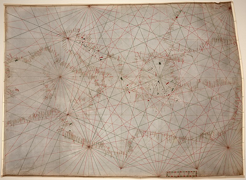
A portolan nautical chart of the Mediterranean Sea, second quarter of the 14th century. Kept in the Library of Congress, where it is the oldest original cartographic artifact.Portolan charts are the earliest known type of nautical charts, and the oldest known examples were made in the late 13th and early 14th centuries in the Mediterranean region, usually displaying the areas between the Atlantic coasts of Western Europe and Northwestern Africa to the west and the Black Sea to the east. Besides those showing the entire area on a single map field, there are also portolan charts that show smaller territorial extents, either as separate editions or as a series of charts that together form portolan atlases.
The word portolan comes from the Italian portolano, meaning "related to ports or harbors", and which since at least the 17th century designates "a collection of sailing directions".
Excerpted from Wikipedia’s “portolan chart” article, available under the CC BY-SA 4.0 licence.