File:Agdam_1.jpg · Wikimedia Commons · See Wikimedia Commons
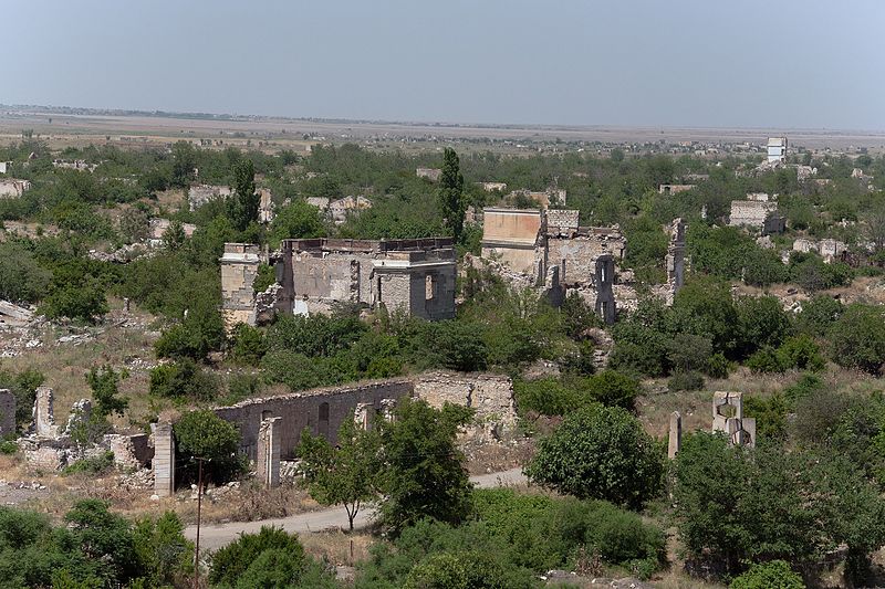
Aghdam District is an administrative area located in Azerbaijan. It matters as part of Azerbaijan's territorial organization, though it was significantly affected during the Nagorno-Karabakh conflict.
AI-generated from the Wikipedia summary — may contain errors.
Wikidata facts
- Country
- Soviet Union
- Located in
- Azerbaijan Soviet Socialist Republic
- Capital
- Aghdam
- Population
- 202200
- Area
- 1154
- Elevation
- 291
- Time zone
- UTC+04:00
- Official website
- agdam-ih.gov.az/az
- Image
- Agdam 1.jpg
- Dialing code
- 192
- Licence plate code
- 02
Show 7 more facts
- Commons category
- Ağdam Rayon
- topic's main category
- Category:Aghdam District
- category of associated people
- Category:People from Agdam District
- inception
- 1930-08-08
- postal code
- 0200
- office held by head of government
- governor
- native label
- Ağdam rayonu
Sources (8)
via Wikidata · CC0
~4 min read
Encyclopedic overview
39°59′01″N 46°55′43″E / 39.98361°N 46.92861°E / 39.98361; 46.92861
Aghdam District (Azerbaijani: Ağdam rayonu) is one of the 66 administrative divisions of Azerbaijan. It is located in the west of the country and belongs to the Karabakh Economic Region. The district borders the districts of Khojaly, Kalbajar, Tartar, Khojavend, Aghjabadi, and Barda. Its capital is Aghdam. As of 2020, the district had a nominal population of 204,000.
Excerpted from Wikipedia’s “Aghdam District” article, available under the CC BY-SA 4.0 licence.