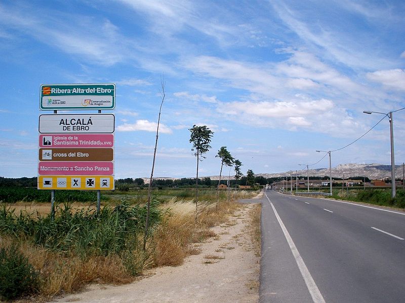
File:Alcalá_de_Ebro_01.JPG · Wikimedia Commons · See Wikimedia Commons
Alcalá de Ebro
Sign in to saveAlso known as Alcala de Ebro
human settlement in Zaragoza Province, Aragon, Spain
Key facts
- Country
- Spain
- Autonomous community
- Aragon
- Province
- Zaragoza
- Municipality
- Alcalá de Ebro
- Total
- 9.90 km (3.82 sq mi)
- Elevation
- 223 m (732 ft)
- Density
- 24.6/km (63.8/sq mi)
- Time zone
- UTC+1 ( CET )
- Summer dst
- UTC+2 ( CEST )
via Wikipedia infobox
Wikidata facts
- Instance of
- municipality of Spain
- Named after
- Ebro
- Official name
- Alcalá de Ebro
- Demonym
- alcaína
- Country
- Spain
- Located in
- Zaragoza Province
- Population
- 244
- Area
- 9.9
- Elevation
- 223.0
- Time zone
- UTC+01:00
- Shares border with
- Torres de Berrellén
- Official website
- alcaladeebro.com
- Image
- Alcalá de Ebro 02.JPG
- Licence plate code
- Z
Show 6 more facts
- Commons category
- Alcalá de Ebro
- postal code
- 50691
- native label
- Alcalá de Ebro
- male population
- 118
- female population
- 128
- P8168
- Saint-Étienne
via Wikidata · CC0
~1 min read
Encyclopedic overview
Alcalá de Ebro is a municipality located in the province of Zaragoza, Aragon, Spain. According to the 2004 census (INE), the municipality has a population of 279 inhabitants.
According to Jan Morris ("Spain", p. 33), Alcalá del Ebro is the fictional Isla Barataria which Sancho Panza ruled in Don Quixote.
Excerpted from Wikipedia’s “Alcalá de Ebro” article, available under the CC BY-SA 4.0 licence.