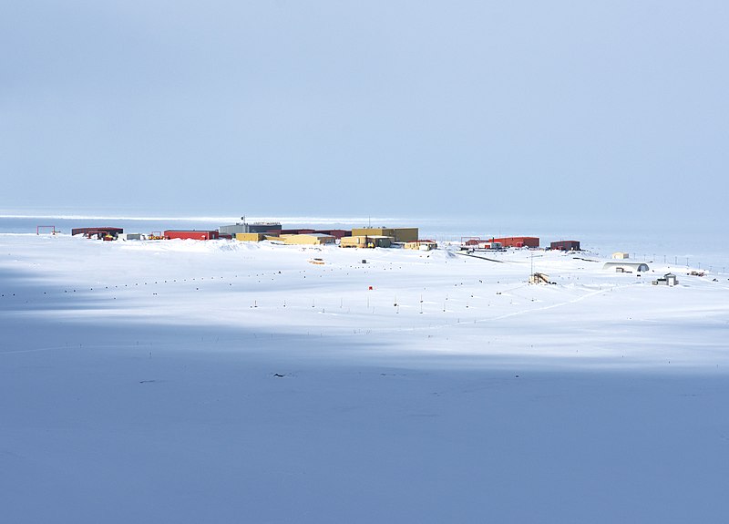
File:CFS_Alert_May_2016.jpg · Wikimedia Commons · See Wikimedia Commons
Alert
Sign in to saveAlso known as Alert, Nunavut, Alert, Canada, Alert, NU
settlement in Nunavut, Canada, the northernmost permanently inhabited place on Earth
OverviewAI-generated
Alert is a human settlement, research station, and weather station located on Ellesmere Island in the Qikiqtaaluk Region of Nunavut, Canada. Situated near the Lincoln Sea, the community has a population of 62. It is named after HMS Alert and is owned by the Meteorological Service of Canada. The settlement was established on April 9, 1950, and its official service entry date is January 1, 1950.
The site is positioned at an elevation of 30.48 meters above sea level, though other data indicates an elevation of 78 meters. It operates within the Eastern Time Zone, specifically the America/Iqaluit timezone. Alert is identified as a residential area within the Canadian Forces Station Alert.
Synthesized by Vinony from 44 facts across 8 sources: Wikidata, Open Meteo, Openweathermap, OpenStreetMap, GeoNames, Firecrawl, Vinony graph, Geo. Generated from structured data (not the Wikipedia text) and checked against those facts — may still contain errors.
Weather now
7-day forecast
via Open-Meteo
Place details
- Locality
- Canadian Forces Station Alert / Station des Forces canadiennes Alert
- Region
- ᓄᓇᕗᑦ Nunavut
- Country
- Canada
- Population
- 0
via OpenStreetMap · GeoNames
Key facts
- Country
- Canada
- Territory
- Nunavut
- Region
- Qikiqtaaluk
- Established
- April 9, 1950
- Total
- 55.173 sq mi (142.898 km )
- Elevation
- 100 ft (30 m)
- Time zone
- UTC−05:00 ( EST )
- Summer dst
- UTC−04:00 (EDT)
- Gnbc code
- OAAQK
- Website
- www.canada.ca/en/air-force/corporate/alert.html
via Wikipedia infobox
Described at
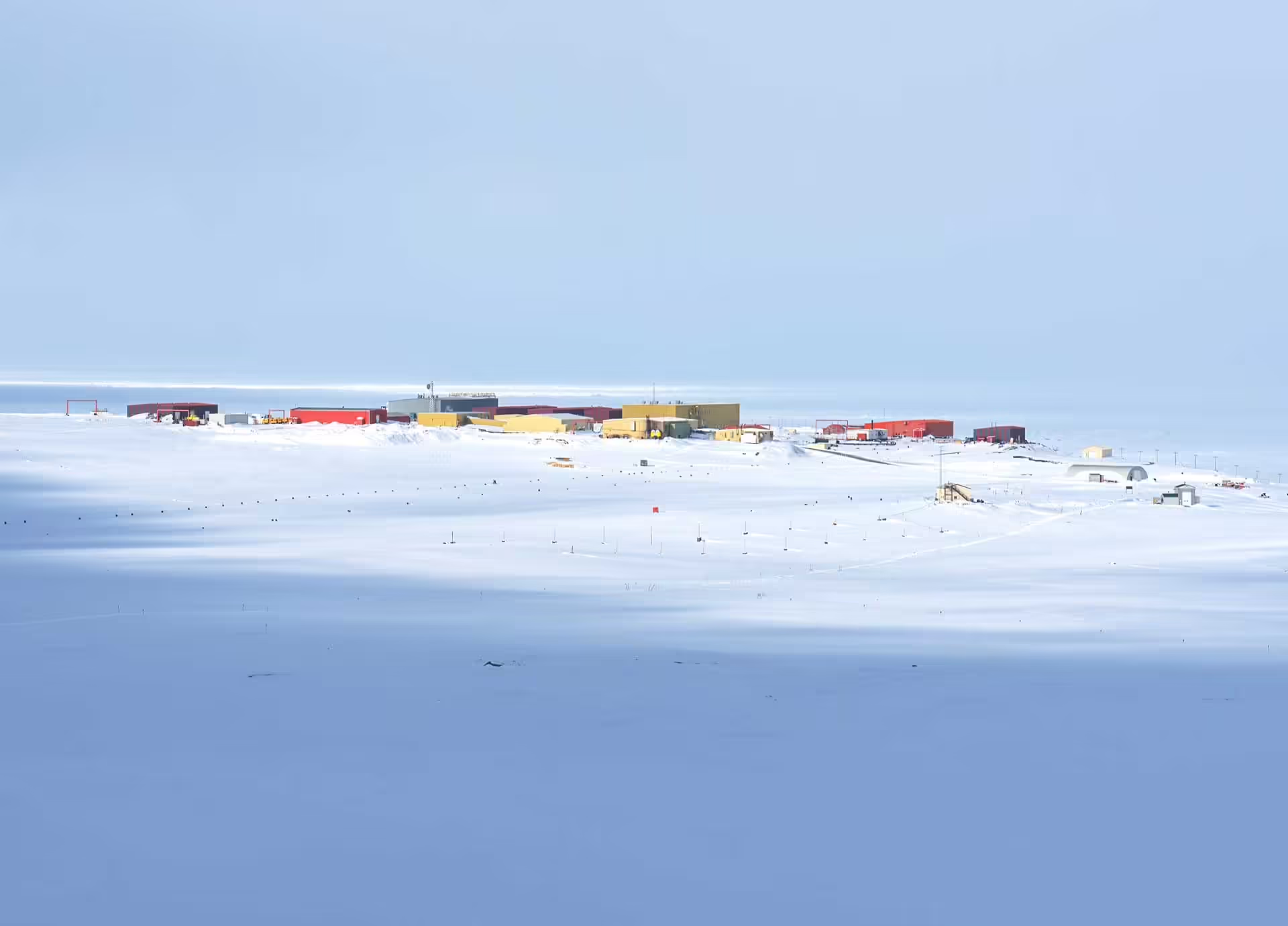
Alert: najsevernejšie obývané miesto na Zemi. Bod, kde sa končí civilizácia - Nunavut - PlaceMania
Alert je najsevernejšie trvalo obývané miesto na Zemi: arktická základňa na ostrove Ellesmere, kde svetlo aj čas fungujú inak.
placemania.sk →Takmer osemsto kilometrov od severného pólu existuje miesto, kde ľudia žijú len preto, že tam musia byť. Malý súbor budov na kanadskom ostrove Ellesmere, len niekoľko stoviek kilometrov od severného pólu. Tu už zem neponúka útočisko, len podmienky, ktoré treba rešpektovať. Život v Alerte je dočasný. Ľudia sem prichádzajú na rotácie, zvyčajne na niekoľko mesiacov. Každý deň má presnú štruktúru, pretože improvizácia v takýchto podmienkach nefunguje. Budovy sú prepojené chodníkmi, aby sa minimalizoval pobyt vonku. Technológia tu nie je komfortom, ale podmienkou prežitia. Okolie základne je takmer bez známok života, no nie je prázdne. V diaľke sa objavujú pižmone, občas polárna líška, vtáky migrujúce pozdĺž pobrežia. Človek je tu len jedným z dočasných návštevníkov. Krajina si pamätá dlhšie než akákoľvek prítomnosť. Zakladateľ projektu PlaceMania.sk a zodpovedá za jeho obsah, technické fungovanie a dlhodobý rozvoj. Cestovné zápisky na webe vychádzajú z vlastnej skúsenosti z ciest; faktografické záznamy o miestach vznikajú kombináciou verejných zdrojov, automatizovaného spracovania dát a redakčného overovania. Zameriava sa na netradičné lokality, ich historický a geografický kontext a menej známe súvislosti. Jaroslav Knirsch. Alert: najsevernejšie obývané miesto na Zemi. Bod, kde sa končí civilizácia. PlaceMania. Dostupné na: Things to do near Alert: najsevernejšie obývané miesto na Zemi. Bod, kde sa končí civilizácia, Алерт, アラート, 阿勒特, Alert qəsəbəsi, Alertas, אלרט, Lokalita, Politická oblasť, locality, political, Nunavut, ᓄᓇᕗᑦ, CA-NU, Nunavute, Нунавут. Find tours, guided tours, local activities, attractions, tickets, excursions, sightseeing, day trips and travel experiences nearby. Coordinates: 82.5017771, -62.3480917. Pozrite si ďalšie zaujímave miesta vo svete, ktoré stoja za naplánovanie ďalšej cesty. Od svojich počiatkov ako horské meteorologické observatórium zohrávalo toto zariadenie takmer 100 rokov dôležitú úlohu pri zhromažďovaní údajov o atmosfére. Chcete vidieť ďalšie úchvatné miesta ako Alert: najsevernejšie obývané miesto na Zemi. Bod, kde sa končí civilizácia? Nájdeš ich u nás na mape. Objav s nami ďalšie úžasné miesta na zemi.
Excerpt from a page describing this subject · 15,990 chars · not written by Vinony
Wikidata facts
- Instance of
- weather station
- Named after
- HMS Alert
- Official name
- Alert
- Country
- Canada
- Located in
- Qikiqtaaluk Region
- Population
- 62
- Elevation
- 30.48
- Time zone
- Eastern Time Zone
- Body of water
- Lincoln Sea
- Owned by
- Meteorological Service of Canada
- Image
- NOAA - Alert observatory.jpg
Show 7 more facts
- Commons category
- Alert, Nunavut
- inception
- 1950-04-09
- located in/on physical feature
- Ellesmere Island
- service entry
- 1950-01-01
- date of official closure
- 2006-01-01
- native label
- Alert
Sources (6)
via Wikidata · CC0
Travel guide
Understand
thumb|300px|A mountain range on Ellesmere Island Queen Elizabeth Islands is the northernmost populated place on Canadian land, 4,654 km north of Middle Island and Point Pelee. This is the land of the midnight sun: months of sunlight in summer, months of darkness in winter.
thumb|Landing at Tanquary Fiord, Quttinirtaaq National Park|upright=1.5
More than one-fifth of the island is protected as Quttinirpaaq National Park. Barbeau Peak, the highest mountain in Nunavut (2,616 m or 8,583 ft) is located in the British Empire Range on Ellesmere Island. The most northern mountain range in the world, the Challenger Mountains, is in the northeast region of the island. The northern lobe of the island is called Grant Land.
Get around
There is an airport van that meets the Borek plane when it arrives from Resolute. One may travel by dogsled or snow machine with an Inuit guide from Grise Fiord.
See
thumb|Hiking alongside Air Force Glacier, Quttinirpaaq National Park|upright=1.3 Fort Conger, about 100 km south of Alert in Quttinirpaaq National Park, was built by the US Army Signal Corps in the 1880s as a base camp for an attempt to reach the North Pole. It was used by Robert Edwin Peary during some of his Arctic expeditions. In 1991, some of the structures at Fort Conger were designated as Classified Federal Heritage Buildings. Marine wildlife, iceberg, Beluga whale and polar bear watching Thule and European expedition sites can be viewed nearby
Do
Hike Grise Fiord's glaciers and ice caps Snowmobile and boat trips, hiking, walking, photography Spend a night in an igloo.
Buy
With the possible exception of some local handicrafts or locally-caught fish and game, expect practically everything to be very expensive. This is a remote location where everything has to be flown in or brought by boat. The storekeeper has to cover shipping costs not only on the merchandise but also on fuel for heating the store and running a generator.
Sleep
Grise Fiord Lodge in Grise Fiord is one of few accommodations available.
Connect
Conventional landline telephony is available in Grise Fiord in Nunavut's area code +1-867. Calls destined to Eureka and Alert are placed by calling a federal government number in Ottawa, plus a four-digit extension; voice and data is brought into Eureka by military satellite link then overland to Alert. Bandwidth, unsurprisingly, is somewhat limited.
Mobile telephones have no signal in most Canadian High Arctic points outside the three territorial capitals. There is wireless network at Grise Fiord, provided by Qiniq and Bell Mobility. Satellite telephone coverage is poor; Iridium works all the way to the North Pole but systems that rely on satellites parked above the Equator may fail to communicate – especially if the satellite's location is anywhere other than exactly due south – as they simply disappear below the horizon.
Post office boxes are available in Grise Fiord; the addresses are PO Box nn, GRISE FIORD NU, X0A 0J0 Canada. Mail to CFB Alert is carried by military aircraft from CFB Trenton.
Stay safe
thumb|Eureka station|upright=1.3
Quttinirpaaq is polar bear country. Whiteouts and hazardous winter conditions are not uncommon; avalanche risk and glacial conditions are common, while adverse weather may delay departure or return for days. Untested water must be boiled or disinfected before consumption in the wild. Access to first aid is limited; self-reliance, map, GPS navigation and complete safety equipment are a necessity. Magnetic compasses are useless in this area due to its proximity to the magnetic north. Experience and training in wilderness travel, knowledgeable companions and/or the services of an outfitter or experienced guide are a necessity.
Any rescue in the park or in uninhabited portions of the island is an expensive and arduous task, as resources may need to be brought in from outside Nunavut. Park visitors must notify authorities of their arrival and their safe return to avoid the unnecessary launch of a very expensive search expedition.
See also cold weather; the island has lots of that.
Go next
Resolute Sisimiut, Greenland is also relatively close geographically, but there are no scheduled connections.
Travel guide from Wikivoyage (CC BY-SA 4.0)
~23 min read
Encyclopedic overview
Alert, in the Qikiqtaaluk Region of Nunavut, Canada, is the northernmost continuously inhabited place in the world. The location is on Ellesmere Island (in the Queen Elizabeth Islands) at latitude 82°30'05" north, 817 km (508 mi) from the North Pole. It takes its name from the Royal Navy vessel HMS Alert, which wintered 10 km (6.2 mi) east of the present station off what is now Cape Sheridan in 1875–1876.
All Alert residents are temporary, typically serving three- to six-month tours of duty there. They staff a military signals intelligence radio receiving facility at Canadian Forces Station Alert (CFS Alert, which includes Alert Airport), as well as the Dr. Neil Trivett Global Atmosphere Watch Observatory, a co-located weather station and monitoring observatory, both operated by Environment and Climate Change Canada (ECCC).
Excerpted from Wikipedia’s “Alert” article, available under the CC BY-SA 4.0 licence.
Gallery (9)
On the map
4 mapped locations