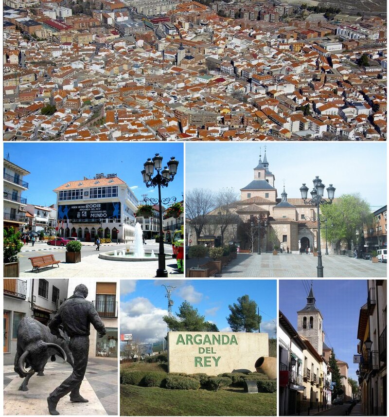
File:Arkanda1.jpg · Wikimedia Commons · See Wikimedia Commons
Arganda del Rey
Sign in to saveAlso known as Arganda, Arganda del Rey, Spain
municipality and city of the community of Madrid, Spain
Key facts
- Country
- Spain
- Region
- Community of Madrid
- Type
- Ayuntamiento
- Mayor
- Alberto Escribano ( PP )
- Total
- 79.65 km (30.75 sq mi)
- Elevation
- 618 m (2,028 ft)
- Time zone
- UTC+1 (CET)
- Summer dst
- UTC+2 (CEST)
- Climate
- Csa
- Website
- ayto-arganda .es
via Wikipedia infobox
Wikidata facts
- Instance of
- municipality of Spain
- Official name
- Arganda del Rey
- Country
- Spain
- Located in
- Community of Madrid
- Continent
- Europe
- Population
- 60419
- Area
- 79.65
- Elevation
- 618
- Time zone
- UTC+02:00
- Shares border with
- Rivas-Vaciamadrid
- Official website
- www.ayto-arganda.es
- Image
- Arganda del rey skyline.JPG
- Licence plate code
- M
- Patron saint
- John the Baptist
- Connects with
- Eastern Motorway (Spain)
Show 7 more facts
- postal code
- 28500
- category of associated people
- Category:People from Arganda del Rey
- twinned administrative body
- Noisy-le-Sec
- Commons category
- Arganda del Rey
- Commons gallery
- Arganda del Rey
- male population
- 27771
- female population
- 27610
via Wikidata · CC0
~4 min read
Encyclopedic overview
Arganda del Rey [aɾˈɣanda ðel rej] is a municipality and city of Spain located in the Community of Madrid.
Geography
Excerpted from Wikipedia’s “Arganda del Rey” article, available under the CC BY-SA 4.0 licence.