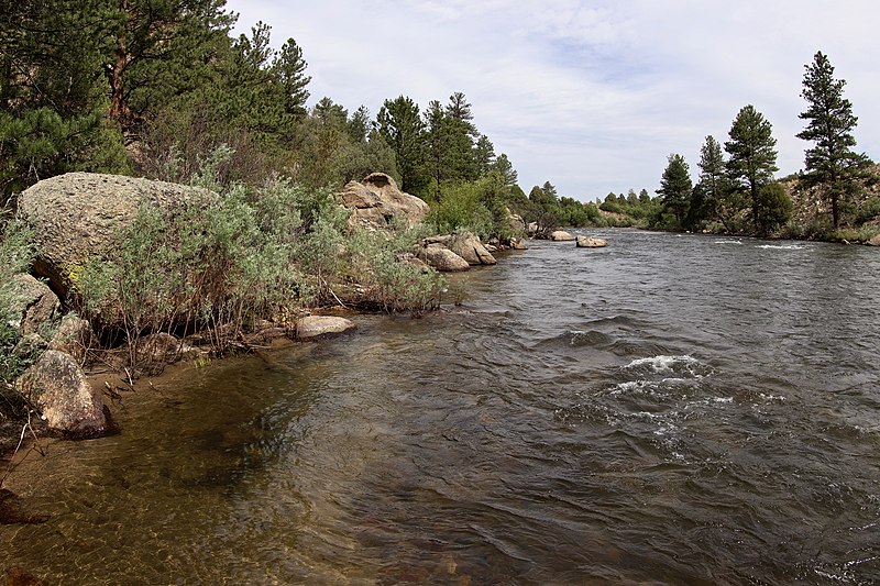
File:Arkansas_River_(2020).jpg · Wikimedia Commons · See Wikimedia Commons
Arkansas River
Sign in to savemajor tributary of the Mississippi River, United States
The Arkansas River is a major tributary of the Mississippi River, meaning it flows into the Mississippi and helps feed one of North America's most important waterways. It matters because it drains a large portion of the central United States and contributes significantly to the Mississippi River system, which is crucial for transportation, commerce, and the region's geography.
AI-generated from the Wikipedia summary — may contain errors.
Wikidata facts
- Instance of
- river
- Country
- United States
- Located in
- Oklahoma
- Image
- AR Arkansas River.jpg
- Length
- 2364
Show 8 more facts
- basin country
- United States
- mouth of the watercourse
- Mississippi River
- Commons category
- Arkansas River
- topic's main category
- Category:Arkansas River
- category for the water basin
- Category:Arkansas River basin
- Commons gallery
- Arkansas River
- watershed area
- 505000
- discharge
- 240
Sources (1)
via Wikidata · CC0
~17 min read
Encyclopedic overview
The Arkansas River is a major tributary of the Mississippi River. It generally flows to the east and southeast as it traverses the U.S. states of Colorado, Kansas, Oklahoma, and Arkansas. The river's source basin lies in Colorado, specifically the Arkansas River Valley. The headwaters derive from the snowpack in the Sawatch and Mosquito mountain ranges. It flows east into Kansas and finally through Oklahoma and Arkansas, where it meets the Mississippi River.
At 1,469 miles (2,364 km), it is the sixth-longest river in the United States, the second-longest tributary in the Mississippi–Missouri system, and the 47th longest river in the world. Its origin is in the Rocky Mountains in Lake County, Colorado, near Leadville. In 1859, placer gold discovered in the Leadville area brought thousands seeking to strike it rich, but the easily recovered placer gold was quickly exhausted. The Arkansas River's mouth is at Napoleon, Arkansas, and its drainage basin covers nearly 170,000 square miles (440,000 km). Its volume is much smaller than the Missouri and Ohio rivers, with a mean discharge of about 40,000 cubic feet per second (1,100 m/s).
Excerpted from Wikipedia’s “Arkansas River” article, available under the CC BY-SA 4.0 licence.
Gallery (12)
On the map
60 mapped locations
Available in 73 languages
- Español
- Français
- Deutsch
- 中文
- 日本語
- Русский
- Português
- Italiano
- العربية
- हिन्दी
- Afrikaans
- Armenian
- azb
- Bahasa Indonesia
- Bangla
- Basque
- be_x_old
- Belarusian
Show 54 more
- Bosnian
- Bulgarian
- Catalan
- Cebuano
- Cheyenne
- Chuvash
- Croatian
- Czech
- Danish
- Egyptian Arabic
- Esperanto
- Estonian
- Finnish
- Galician
- Georgian
- Greek
- Haitian Creole
- Hebrew
- Hungarian
- Karachay-Balkar
- Kazakh
- Kyrgyz
- Latin
- Latvian
- Lithuanian
- Malayalam
- Marathi
- Mingrelian
- Mongolian
- Nederlands
- Northern Frisian
- Norwegian
- Ossetic
- Polski
- Romanian
- Scots
- Serbian
- Serbian (Latin)
- simple
- Slovenian
- Svenska
- Swahili
- Tiếng Việt
- Türkçe
- Ukrainian
- Urdu
- Uzbek
- Welsh
- Western Frisian
- Wu Chinese
- zh_min_nan
- فارسی
- ไทย
- 한국어
via Wikidata sitelinks · CC0