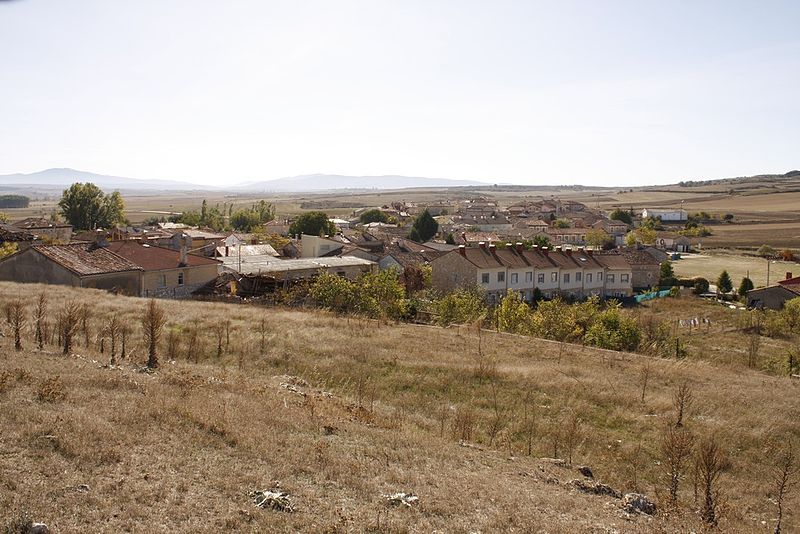
File:Atapuerca01.jpg · Wikimedia Commons · See Wikimedia Commons
Key facts
- Country
- Spain
- Autonomous community
- Castile and León
- Province
- Burgos
- Comarca
- Alfoz de Burgos
- Mayor
- Raquel Torrientes Burgos ( People's Party )
- Total
- 24.75 km (9.56 sq mi)
- Elevation
- 953 m (3,127 ft)
- Density
- 7.19/km (18.6/sq mi)
- Time zone
- UTC+1 ( CET )
- Summer dst
- UTC+2 ( CEST )
- Postal code
- 09199
- Website
- www .atapuerca .es
via Wikipedia infobox
Wikidata facts
- Instance of
- municipality of Spain
- Official name
- Atapuerca
- Country
- Spain
- Located in
- Province of Burgos
- Continent
- Europe
- Population
- 178
- Area
- 25
- Elevation
- 953
- Time zone
- UTC+02:00
- Shares border with
- Arraya de Oca
- Image
- Atapuerc 099.jpg
- Licence plate code
- BU
Show 6 more facts
- Commons category
- Atapuerca
- postal code
- 09199
- topic's main category
- Category:Atapuerca
- different from
- Atapuerca
- female population
- 71
- male population
- 91
via Wikidata · CC0
~2 min read
Encyclopedic overview
Atapuerca ( Spanish: [ataˈpweɾka] ) is a municipality and town located in the province of Burgos, Castile and León, Spain. It encompasses the Archaeological Site of Atapuerca and is famous for its prehistoric archaeological sites. The municipality is made of two villages: Atapuerca (seat or capital) and Olmos de Atapuerca.
The village is the home of an Experimental Archaeology Centre (CAREX). The village also plays host to an annual cross country running event—the Cross de Atapuerca—which attracts over 2000 runners each year.
Excerpted from Wikipedia’s “Atapuerca” article, available under the CC BY-SA 4.0 licence.