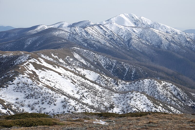
File:Mount_Feathertop_and_Razorback.jpg · Wikimedia Commons · See Wikimedia Commons
Australian Alps
Sign in to savebioregion and highest mountain range in Australia
Key facts
- Country
- Australia
- State
- Australia
- State electorates
- Benambra Brindabella Gippsland East Monaro Ovens Valley
- Federal divisions
- Eden-Monaro Gippsland Riverina
- Total
- 12,330 km (4,760 sq mi)
via Wikipedia infobox
Wikidata facts
- Instance of
- mountain range
- Official name
- Australian Alps
- Country
- Australia
- Located in
- Victoria
- Elevation
- 1372
- Highest point
- Mount Kosciuszko
- Image
- Mt hotham alpine range scenery.jpg
Show 3 more facts
- Commons category
- Australian Alps
- mountain range
- Great Dividing Range
- time period
- Devonian
Sources (1)
via Wikidata · CC0
~11 min read
Encyclopedic overview
Map of Australian Alps
The Australian Alps are a mountain range in southeast Australia. The range comprises an interim Australian bioregion, and is the highest mountain range on mainland Australia. The range straddles the borders of eastern Victoria, southeastern New South Wales, and the Australian Capital Territory. It contains the only peaks exceeding 2,000 m (6,600 ft) in elevation on the Australian mainland, and is the only bioregion on the Australian mainland in which deep snow falls annually. The range comprises an area of 1,232,981 ha (3,046,760 acres).
Excerpted from Wikipedia’s “Australian Alps” article, available under the CC BY-SA 4.0 licence.