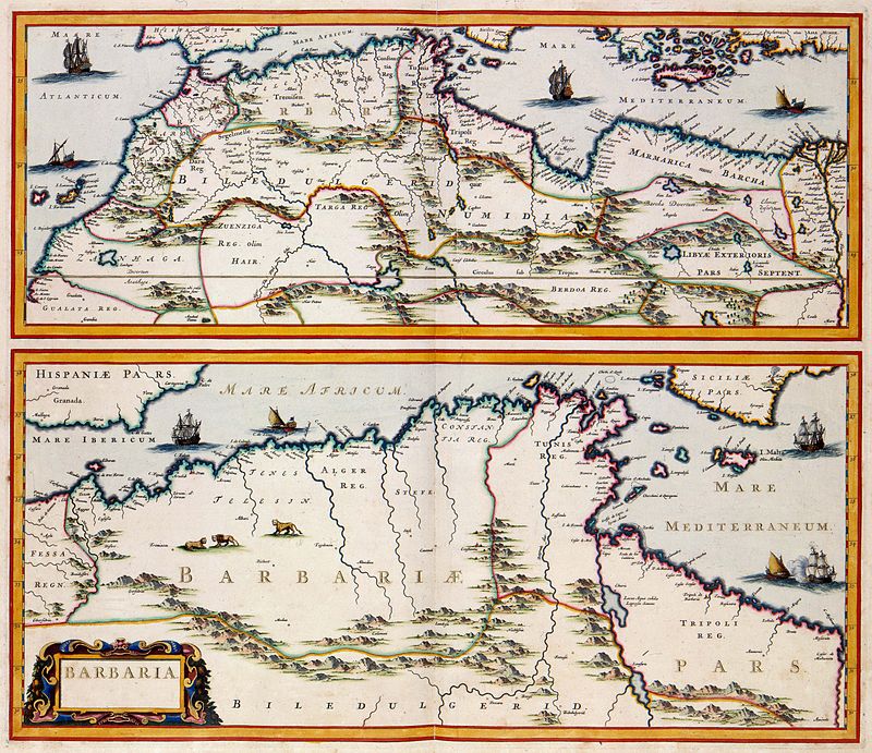
File:Atlas_Van_der_Hagen-KW1049B13_057-BARBARIA.jpeg · Wikimedia Commons · See Wikimedia Commons
Barbary Coast
Sign in to saveAlso known as Berbery Coast
name used to designate the territory of the Barbary and going from Libya to Morocco
Wikidata facts
- Instance of
- historical region
- Part of
- Maghreb
Show 2 more facts
- described by source
- Encyclopædia Britannica 11th edition
- Commons category
- Barbary Coast
Sources (1)
via Wikidata · CC0
~8 min read
Encyclopedic overview
A 17th-century map by the Dutch cartographer Jan Janssonius showing the Barbary Coast, here "Barbaria"
The Barbary Coast (also Barbary, Berbery, or Berber Coast) were the coastal areas of central and western North Africa, more specifically, the Maghreb and the Ottoman borderlands consisting of the regencies in Algiers, Tunis, and Tripoli, as well as the Sultanate of Morocco from the 16th to 19th centuries. The term originates from an exonym for the Berbers.
Excerpted from Wikipedia’s “Barbary Coast” article, available under the CC BY-SA 4.0 licence.