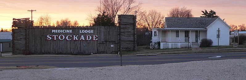
File:Carry_Nation_house_and_Stockade_Museum_from_N_1.jpg · Wikimedia Commons · See Wikimedia Commons
شهرستان باربر
Sign in to saveAlso known as Barber County, Kansas, Barber County, KS
county in Kansas, United States
Key facts
- Country
- United States
- State
- Kansas
- Founded
- February 26, 1867
- Named after
- Thomas W. Barber
- Seat
- Medicine Lodge
- Largest city
- Medicine Lodge
- Total
- 1,136 sq mi (2,940 km )
- Land
- 1,134 sq mi (2,940 km )
- Water
- 2.1 sq mi (5.4 km ) 0.2%
- Estimate 2025
- 4,083
- Density
- 3.728/sq mi (1.440/km )
- Time zone
- UTC−6 ( Central )
- Summer dst
- UTC−5 ( CDT )
- Congressional district
- 4th
- Website
- barber.ks.gov
via Wikipedia infobox
Wikidata facts
- Country
- United States
- Located in
- Kansas
- Contains
- Medicine Lodge
- Capital
- Medicine Lodge
- Population
- 4228
- Area
- 2943
- Time zone
- Central Time Zone
- Shares border with
- Kiowa County
- Official website
- BarberCounty.net
- Image
- Carry Nation house and Stockade Museum from N 1.jpg
- Households
- 1931
Show 8 more facts
- water as percent of area
- 0.2
- native label
- Barber County
- Commons category
- Barber County, Kansas
- topic's main category
- Category:Barber County, Kansas
- inception
- 1867-02-26
- different from
- Barber
- per capita income
- 28934
- category of associated people
- Category:People from Barber County, Kansas
Sources (10)
via Wikidata · CC0
Gallery (3)
On the map
19 mapped locations