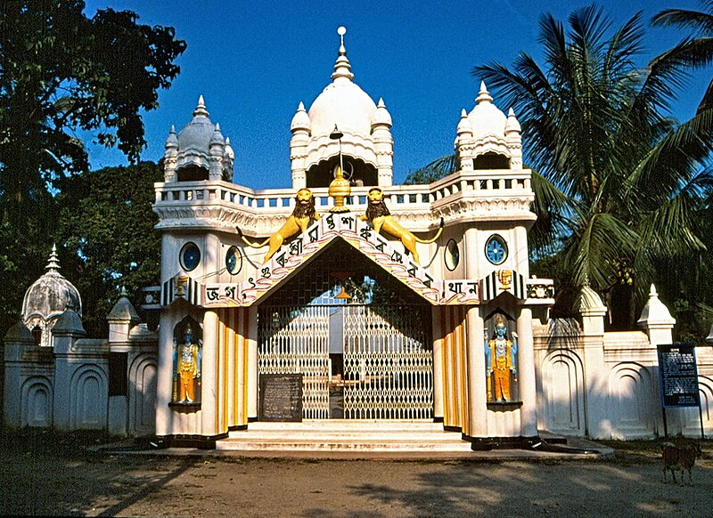
File:Sankardev_Satra_Patbausi,_Barpeta.jpg · Wikimedia Commons · See Wikimedia Commons
Key facts
- Country
- India
- State
- Assam
- Division
- Lower Assam
- Headquarters
- Barpeta
- Lok sabha constituencies
- Barpeta
- Vidhan sabha constituencies
- Sorbhog , Barpeta , Jania , Baghbar , Sarukhetri , Chenga
- Total
- 2,764 km (1,067 sq mi)
- Density
- 520.9/km (1,349/sq mi)
- Time zone
- UTC+05:30 ( IST )
- Iso 3166 code
- IN-AS-BA
- Website
- https://barpeta.assam.gov.in/
via Wikipedia infobox
Wikidata facts
- Instance of
- district of India
- Country
- India
- Capital
- Barpeta
- Population
- 1693622
- Area
- 3245
- Time zone
- UTC+05:30
- Shares border with
- Chirang district
- Official website
- barpeta.gov.in
- Image
- Sankardev Satra Patbausi, Barpeta.jpg
- Households
- 337929
Show 10 more facts
- topic's main category
- Category:Barpeta district
- Commons category
- Barpeta district
- inception
- 1983-00-00
- male population
- 867004
- female population
- 826618
- urban population
- 147353
- rural population
- 1546269
- literate population
- 897058
- illiterate population
- 796564
- short name
- BAR
via Wikidata · CC0
~5 min read
Encyclopedic overview
Barpeta district is an administrative district in the state of Assam in India. The district headquarters are located at Barpeta. The district occupies an area of 3,245 km (1,253 sq mi) and has a population of 1,642,420 (as of 2001).
History
Excerpted from Wikipedia’s “Barpeta district” article, available under the CC BY-SA 4.0 licence.