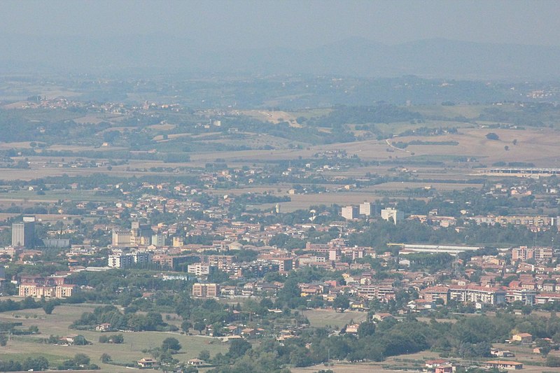
File:BastiaUmbraPanorama2.JPG · Wikimedia Commons · See Wikimedia Commons
AI overview
Bastia Umbra is a town located in the Umbria region of Italy. It is one of several communes in the area, making it part of Italy's local administrative divisions.
AI-generated from the Wikipedia summary — may contain errors.
Wikidata facts
- Instance of
- comune of Italy
- Official name
- Bastia Umbra
- Country
- Italy
- Official language
- Italian
- Population
- 21199
- Area
- 27.6
- Elevation
- 202
- Time zone
- UTC+02:00
- Shares border with
- Torgiano
- Official website
- www.comune.bastia.pg.it
- Image
- BastiaUmbraSanMicheleArcangelo.JPG
- Dialing code
- 075
- Licence plate code
- PG
- Patron saint
- Archangel Michael
Show 6 more facts
- topic's main category
- Category:Bastia Umbra
- Commons category
- Bastia Umbra
- postal code
- 06083
- twinned administrative body
- Karancslapujtő
- Commons gallery
- Bastia Umbra
- native label
- Bastia Umbra
Sources (9)
via Wikidata · CC0
~12 min read
Encyclopedic overview
Bastia Umbra ( Italian pronunciation: [baˈstiːa ˈumbra]) is a comune (municipality) in the Province of Perugia in the Italian region Umbria.
The town lies 8 miles (13 km) east of Perugia, 1.5 miles (2.4 km) west of the Sanctuary of the Portiuncula, 3 miles (4.8 km) from Assisi, and 12 miles (19 km) from Foligno.
Excerpted from Wikipedia’s “Bastia Umbra” article, available under the CC BY-SA 4.0 licence.