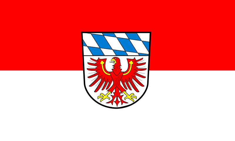
File:Flagge_Landkreis_Bayreuth.svg · Wikimedia Commons · See Wikimedia Commons
Key facts
- Country
- Germany
- State
- Bavaria
- Adm region
- Upper Franconia
- Capital
- Bayreuth
- District admin
- Florian Wiedemann ( FW )
- Total
- 1,273 km (492 sq mi)
- Density
- 81.08/km (210.0/sq mi)
- Time zone
- UTC+01:00 ( CET )
- Summer dst
- UTC+02:00 ( CEST )
- Vehicle registration
- BT, EBS, ESB, KEM, MÜB, PEG
- Website
- www .landkreis-bayreuth .de
via Wikipedia infobox
Wikidata facts
- Official name
- Landkreis Bayreuth
- Country
- Germany
- Located in
- Upper Franconia
- Contains
- Waischenfeld
- Capital
- Bayreuth
- Population
- 103656
- Area
- 445.16
- Elevation
- 507
- Time zone
- UTC+02:00
- Shares border with
- Tirschenreuth
- Official website
- www.landkreis-bayreuth.de
- Households
- 5976
- Licence plate code
- BT
Show 9 more facts
- Commons category
- Landkreis Bayreuth
- topic's main category
- Category:Bayreuth (district)
- Commons gallery
- Landkreis Bayreuth
- male population
- 13374
- female population
- 14721
- number of houses
- 3817
- inception
- 1862-07-01
- P11012
- Ernie Grunfeld
- twinned administrative body
- Süleymanpaşa district
via Wikidata · CC0
~2 min read
Encyclopedic overview
Bayreuth ( German pronunciation: [baɪˈʁɔʏt] ) is a Landkreis (district) in Bavaria, Germany. It surrounds, but does not include the city of Bayreuth. The district is bounded by (from the north and clockwise) the districts of Kulmbach, Hof, Wunsiedel, Tirschenreuth, Neustadt an der Waldnaab, Amberg-Sulzbach, Nürnberger Land, Forchheim and Bamberg.
History
Excerpted from Wikipedia’s “Bayreuth” article, available under the CC BY-SA 4.0 licence.