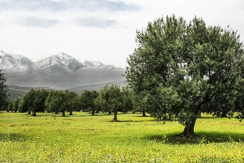
File:Les_Oliviers_de_Bouéra.jpg · Wikimedia Commons · See Wikimedia Commons
AI overview
Bouira Province is a region located in northern Algeria, situated in the Kabylie mountainous area. It is one of Algeria's administrative divisions and serves as an important part of the country's geography and local governance structure.
AI-generated from the Wikipedia summary — may contain errors.
Wikidata facts
- Instance of
- province of Algeria
- Country
- Algeria
- Located in
- Algeria
- Contains
- Sour El Ghozlane District
- Capital
- Bouïra
- Population
- 695583
- Area
- 4439
- Elevation
- 647
- Shares border with
- Blida Province
- Image
- Assiflekhmis.jpg
Show 6 more facts
- Commons category
- Bouira Province
- topic's main category
- Category:Bouïra Province
- category of associated people
- Category:People from Bouïra Province
- inception
- 1974-00-00
- language used
- Kabyle
- topic has template
- Template:Bouïra Province
via Wikidata · CC0
~1 min read
Encyclopedic overview
Bouïra (Arabic: ولاية البويرة) is a province (wilaya) in Algeria.
History
Excerpted from Wikipedia’s “Bouira Province” article, available under the CC BY-SA 4.0 licence.
Gallery (2)
On the map
Available in 57 languages
- Español
- Français
- Deutsch
- 中文
- 日本語
- Русский
- Português
- Italiano
- العربية
- हिन्दी
- Asturian
- azb
- Bahasa Indonesia
- Basque
- be_x_old
- Belarusian
- Bulgarian
- Catalan
Show 38 more
- Cebuano
- Danish
- Esperanto
- Filipino
- Finnish
- Galician
- Georgian
- Greek
- Interlingua
- Kabyle
- Ladino
- Lithuanian
- Malay
- Minangkabau
- Nederlands
- Northern Frisian
- Northern Sami
- Norwegian
- Polski
- Romanian
- Serbian
- Serbian (Latin)
- simple
- Svenska
- Swahili
- Tajik
- Tiếng Việt
- Türkçe
- Ukrainian
- Urdu
- Uzbek
- Waray
- Western Panjabi
- Wu Chinese
- zh_min_nan
- Zulu
- فارسی
- 한국어
via Wikidata sitelinks · CC0