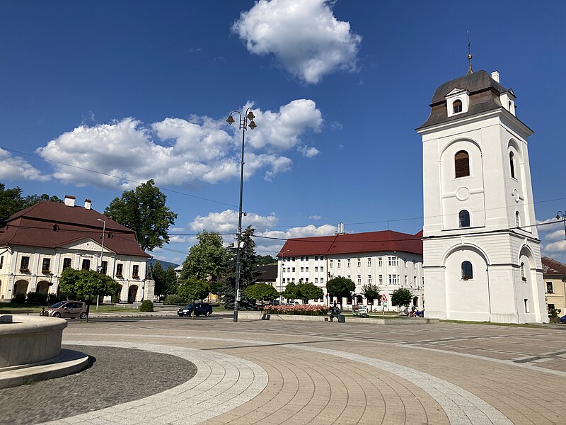
File:Brezno_namestie.jpg · Wikimedia Commons · See Wikimedia Commons
Brezno District
Sign in to savedistrict in the Banská Bystrica Region of central Slovakia
Key facts
- Country
- Slovakia
- Region kraj
- Banská Bystrica Region
- Seat
- Brezno
- Total
- 1,265.24 km (488.51 sq mi)
- Time zone
- UTC+1 ( CET )
- Summer dst
- UTC+2 ( CEST )
- Telephone prefix
- 048
- Vehicle registration plate until 2022
- BR
via Wikipedia infobox
Wikidata facts
- Instance of
- district of Slovakia
- Official name
- okres Brezno
- Country
- Slovakia
- Located in
- Banská Bystrica Region
- Capital
- Brezno
- Population
- 57517
- Area
- 1265.248094
- Shares border with
- Ružomberok District
- Highest point
- Ďumbier
Show 3 more facts
- Commons category
- Brezno District
- topic's main category
- Category:Brezno District
- topic has template
- Template:Brezno District
Sources (2)
via Wikidata · CC0
~2 min read
Encyclopedic overview
Brezno District (Slovak: okres Brezno; Hungarian: Breznóbányai járás) is a district in the Banská Bystrica Region of central Slovakia. It was first established in 1923 and in its present borders exists from 1996.
Population
Excerpted from Wikipedia’s “Brezno District” article, available under the CC BY-SA 4.0 licence.