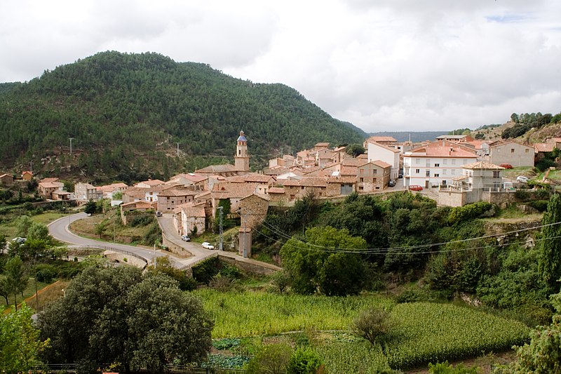
File:Cabra_de_Mora.jpg · Wikimedia Commons · See Wikimedia Commons
Key facts
- Country
- Spain
- Autonomous community
- Aragon
- Province
- Teruel
- Comarca
- Gúdar-Javalambre
- Judicial district
- Teruel
- Mayor 2011
- Manuel de la Poza Moreno
- Total
- 34.31 km (13.25 sq mi)
- Elevation
- 1,085 m (3,560 ft)
- Density
- 1.9/km (5.0/sq mi)
- Time zone
- UTC+01:00 ( CET )
- Summer dst
- UTC+02:00 ( CEST )
- Demonym
- Egabrense
via Wikipedia infobox
Wikidata facts
- Official name
- Cabra de Mora
- Country
- Spain
- Located in
- Teruel Province
- Official language
- Spanish
- Population
- 66
- Area
- 34.308073
- Elevation
- 1085
- Shares border with
- Alcalá de la Selva
- Official website
- cabrademorapueblovivo.es
- Image
- Cabra de Mora.jpg
- Licence plate code
- TE
Show 5 more facts
- postal code
- 44409
- P8168
- Roseburg
- Commons category
- Cabra de Mora
- male population
- 34
- female population
- 20
via Wikidata · CC0
~1 min read
Encyclopedic overview
Cabra de Mora is a municipality in the province of Teruel, Aragon, Spain. According to the 2004 census (INE), it had a population of 119. By 2018, the population had declined to just 55 residents reflecting a steady decrease since 2007.
Demography
Excerpted from Wikipedia’s “Cabra de Mora” article, available under the CC BY-SA 4.0 licence.