File:LaTrinité-Calan.JPG · Wikimedia Commons · See Wikimedia Commons
Weather now
cached 11h ago13°clear sky
76% 4.6 m/s OpenWeatherMap
7-day forecast
via Open-Meteo
Travel guide
Understand
Calan is situated on the Strei river valley, at 230 m altitude.
Fourteen villages are administered by the town: Batiz, Călanu Mic (Kiskalán), Grid, Nădăştia de Jos (Alsónádasd), Nădăştia de Sus (Felsőnádasd), Ohaba Streiului (Sztrigyohába), Sâncrai (Szentkirály), Sântămăria de Piatră (Kőboldogfalva), Strei (Zeikdorf; Zeykfalva), Strei-Săcel (Sztrigyszacsal), Streisângeorgiu (Sztrigyszentgyörgy) and Valea Sângeorgiului (Szentgyörgyválya).
Material traces found in the city and the villages constituted evidence of human existence since ancient Neolithic (5500-3500 BC). Calan is known since Roman times, as a thermal water resort, called Aquae. Kalan in Hungarian means recess in a rock, spoon-shaped, in which one can take a bath in thermal waters.Calan became a town in 1387.
Get around
Calan is a small town and you can visit the town on foot.One can also take a taxi.
Go next
Deva,25 km from Calan.Deva is the capital of Hunedoara County with Deva Citadel an impressive medieval fortress, built in the 13th century and unfortunately, partially blown up in 1849.Located on a hill overlooking the city. Retezat National Park Hunedoara is 20 km away.Here you can visit Hunyad Castle. Hateg is 17 km away.In Hateg you can visit the European Buffalo Reservation.Prislop Monastery is 13 km away.You can see also Colt Monastery and Colt Fortress. Orastie is 25 km away from Calan and from here you can go and see Dacian Fortresses of the Orastie Mountains or you can relax at Geoagiu resort. Petrosani is 65 km away.From Petrosani you have access to Parang and Straja, the most two important winter resorts in Hunedoara County.
Travel guide from Wikivoyage (CC BY-SA 4.0)
~1 min read
Article
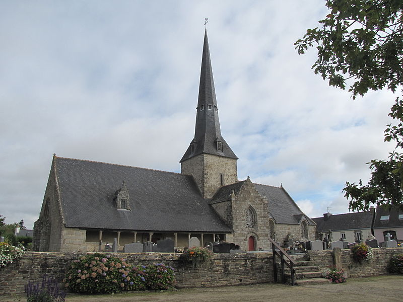
Calan ( French pronunciation: [kalɑ̃]; Breton: Kalann) is a small town in the commune in the Morbihan department of the region of Brittany in north-western France.
Demographics