
File:CandeledaVistaDelPueblo.jpg · Wikimedia Commons · See Wikimedia Commons
Key facts
- Settlement.official_name
- Candeleda
- Settlement.settlement_type
- Municipality
- Settlement.image_skyline
- CandeledaVistaDelPueblo.jpg
- Settlement.image_caption
- View of Candeleda
- Settlement.image_flag
- Bandera de Candeleda.svg
- Settlement.image_shield
- Escudo de Candeleda.svg
- Settlement.pushpin_relief
- 1
- Settlement.pushpin_map
- Spain Castile and León#Spain
- Settlement.pushpin_map_caption
- Location in Spain.
- Settlement.subdivision_type
- Country
- Settlement.subdivision_type1
- Autonomous community
- Settlement.subdivision_type2
- Province
- Settlement.area_total_km2
- 215.52
- Settlement.elevation_m
- 428
- Settlement.population_density_km2
- auto
- Settlement.timezone
- CET
- Settlement.utc_offset
- +1
- Settlement.timezone_DST
- CEST
via Wikipedia infobox
Official website
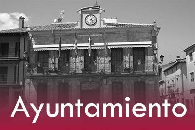
Ayuntamiento de Candeleda
ayuntamientocandeleda.es →Link to the official site · 5,757 chars · not written by Vinony
Wikidata facts
- Instance of
- municipality of Spain
- Official name
- Candeleda
- Demonym
- candeledano
- Country
- Spain
- Located in
- Province of Ávila
- Continent
- Europe
- Population
- 5003
- Area
- 215
- Elevation
- 428
- Time zone
- UTC+02:00
- Shares border with
- Lagartera
- Highest point
- Pico Almanzor
- Official website
- www.ayuntamientocandeleda.es
- Image
- CandeledaVistaDelPueblo.jpg
Show 8 more facts
- Commons category
- Candeleda
- postal code
- 05480
- lowest point
- Tiétar
- native label
- Candeleda
- time of earliest written record
- 1170-00-00
- female population
- 2482
- male population
- 2536
- P12749
- Alfred von Arneth
via Wikidata · CC0
Article · Italiano
Candeleda è un comune spagnolo di 5.143 abitanti situato nella comunità autonoma di Castiglia e León. Si trova nel territorio del Parco regionale della Sierra de Gredos.
Abstract from DBpedia / Wikipedia · CC BY-SA