
File:Carry-le-Rouet_20081010_09.jpg · Wikimedia Commons · See Wikimedia Commons
Carry-le-Rouet
Sign in to saveAlso known as Carri lo Roet
alt=A wide panoramic view of Carry-le-Rouet harbour in France, showing a marina filled with boats, palm trees lining the waterfront, and surrounding coastal buildings under a bright sky.|right|thumb|Harbour Panorama of Carry-le-Rouet Carry-le-Rouet (; ) or simply Carry is a commune in the Bouches-du-Rhône department in the Provence-Alpes-Côte d'Azur region in Southern France. It is a seaside resort west of Marseille, on the Côte Bleue, reached via motorway A55 then route D5, at the foot of pine-covered hills. It is part of the Aix-Marseille-Provence Metropolis.
OverviewAI-generated
Carry-le-Rouet is a commune in France, situated in the Bouches-du-Rhône department within the Provence-Alpes-Côte d'Azur region. It falls under the administrative jurisdiction of the arrondissement of Istres, the canton of Marignane, and the Métropole Aix-Marseille-Provence. The town borders Châteauneuf-les-Martigues, Ensuès-la-Redonne, and Sausset-les-Pins. Its postal code is 13620, and it is twinned with Busseto and Dietmannsried.
The commune covers an area of 10.1 square kilometers and has an elevation of 178 meters above sea level. Population figures vary by source, with one listing 6,358 residents and another citing 6,434. The demographic breakdown includes 2,785 males and 3,038 females. The local demonym for residents is Carryens.
Synthesized by Vinony from 54 facts across 8 sources: Wikidata, Open Meteo, Openweathermap, OpenStreetMap, GeoNames, Firecrawl, Vinony graph, Geo. Generated from structured data (not the Wikipedia text) and checked against those facts — may still contain errors.
Weather now
7-day forecast
via Open-Meteo
Place details
- Locality
- Carry-le-Rouet
- Region
- Provence-Alpes-Côte d'Azur
- Country
- France
- Population
- 6,434
via OpenStreetMap · GeoNames
Key facts
- French commune.name
- Carry-le-Rouet
- French commune.commune status
- Commune
- French commune.image
- Carry-le-Rouet 20081010 09.jpg
- French commune.caption
- Carry-le-Rouet Town Hall
- French commune.image coat of arms
- Blason de la ville de Carry-le-Rouet (13).svg
- French commune.arrondissement
- Istres
- French commune.canton
- Marignane
- French commune.INSEE
- 13021
- French commune.postal code
- 13620
- French commune.mayor
- René-Francis Carpentier
- French commune.term
- 2020–2026
- French commune.intercommunality
- Aix-Marseille-Provence
- French commune.elevation m
- 4
- French commune.elevation min m
- 0
- French commune.elevation max m
- 178
- French commune.area km2
- 10
via Wikipedia infobox
Official website
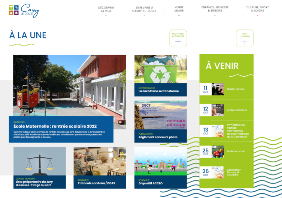
Mairie de Carry Le Rouet - Mairie de Carry Le Rouet
Bienvenue sur le site officiel de la mairie de Carry le Rouet : démarches en ligne, vie municipale, économique, culturelle et sociale de la commune., Site officiel de la mairie de Carry le Rouet . Vie municipale, économique, culturelle et sociale de la commune.
mairie-carrylerouet.fr →Link to the official site · 12,392 chars · not written by Vinony
Wikidata facts
- Instance of
- commune of France
- Official name
- Carry-le-Rouet
- Demonym
- Carryens
- Country
- France
- Located in
- Métropole Aix-Marseille-Provence
- Population
- 5708
- Area
- 10.1
- Elevation
- 83
- Time zone
- UTC+02:00
- Shares border with
- Sausset-les-Pins
- Official website
- mairie-carrylerouet.fr
- Image
- Carry-le-Rouet 20081010 16.jpg
- Licence plate code
- 13
Show 12 more facts
- Commons category
- Carry-le-Rouet
- postal code
- 13620
- twinned administrative body
- Dietmannsried
- described by source
- Pauly–Wissowa
- category for people who died here
- Category:Deaths in Bouches-du-Rhône
- associated electoral district
- canton of Marignane
- male population
- 2785
- female population
- 3038
- P8168
- Fritz Hartnagel
- phone number
- +33-4-42-13-25-25
- fax number
- +33-4-42-45-14-49
- contact page URL
- www.mairie-carrylerouet.fr/formulaire-de-contact
Sources (4)
via Wikidata · CC0
~2 min read
Encyclopedic overview
7 sectionsContents
- Transport
- Demographics
- Personalities
- Sister cities
- See also
- References
- External links
alt=A wide panoramic view of Carry-le-Rouet harbour in France, showing a marina filled with boats, palm trees lining the waterfront, and surrounding coastal buildings under a bright sky.|right|thumb|Harbour Panorama of Carry-le-Rouet Carry-le-Rouet (; ) or simply Carry is a commune in the Bouches-du-Rhône department in the Provence-Alpes-Côte d'Azur region in Southern France. It is a seaside resort west of Marseille, on the Côte Bleue, reached via motorway A55 then route D5, at the foot of pine-covered hills. It is part of the Aix-Marseille-Provence Metropolis.
Every February, Les Oursinades festival takes place, celebrating the consumption of sea urchins, various shellfish and other seafood.
Excerpted from Wikipedia’s “Carry-le-Rouet” article, available under the CC BY-SA 4.0 licence.
Gallery (9)
On the map
3 mapped locations