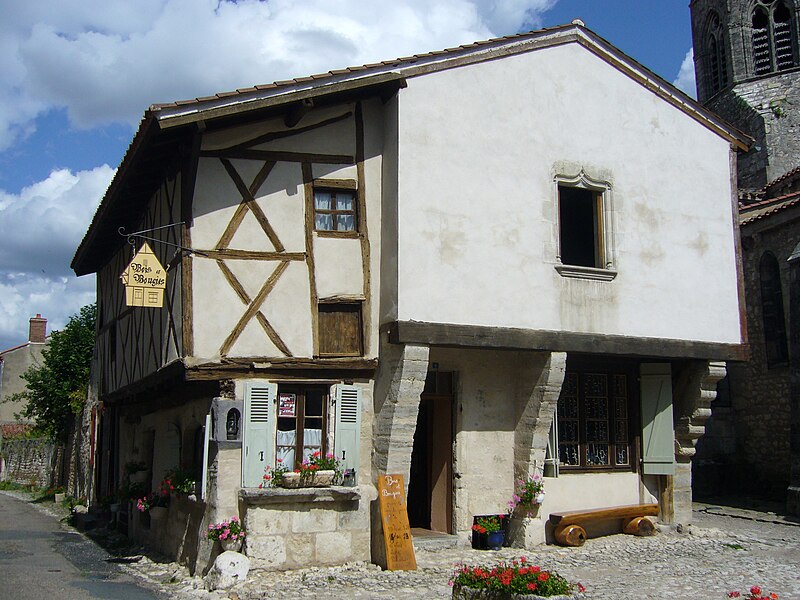
File:Maison_à_colombages_de_Charroux_(03).JPG · Wikimedia Commons · See Wikimedia Commons
Weather now
cached 16h ago12°few clouds
78% 2.2 m/s OpenWeatherMap
7-day forecast
via Open-Meteo
Place details
- Locality
- Charroux
- Region
- Auvergne-Rhône-Alpes
- Country
- France
- Population
- 337
via OpenStreetMap · GeoNames
Key facts
- Country
- France
- Region
- Auvergne-Rhône-Alpes
- Department
- Allier
- Arrondissement
- Vichy
- Canton
- Gannat
- Intercommunality
- Saint-Pourçain Sioule Limagne
- Mayor 2020 2026
- Jacques Gilibert
- Area
- 10.43 km (4.03 sq mi)
- Density
- 32.1/km (83.2/sq mi)
- Time zone
- UTC+01:00 ( CET )
- Summer dst
- UTC+02:00 ( CEST )
- Insee postal code
- 03062 /03140
- Elevation
- 291–426 m (955–1,398 ft) , (avg. 416 m or 1,365 ft)
via Wikipedia infobox
Wikidata facts
- Instance of
- commune of France
- Official name
- Charroux
- Country
- France
- Located in
- arrondissement of Vichy
- Population
- 340
- Area
- 10.43
- Elevation
- 371
- Time zone
- UTC+02:00
- Shares border with
- Taxat-Senat
- Official website
- www.charroux03.fr
- Image
- Maison à colombages de Charroux (03).JPG
Show 10 more facts
- Commons category
- Charroux (Allier)
- postal code
- 03140
- different from
- Charroux
- native label
- Charroux
- associated electoral district
- canton of Gannat
- male population
- 175
- female population
- 187
- email address
- mailto:[email protected]
- phone number
- +33-4-70-56-81-65
via Wikidata · CC0
~1 min read
Encyclopedic overview
Charroux ( French pronunciation: [ʃaʁu]; Occitan: Charós) is a small village situated in the countryside to the south of the Allier department in central France. It is a member of Les Plus Beaux Villages de France (The Most Beautiful Villages of France) Association.
Population
Excerpted from Wikipedia’s “Charroux” article, available under the CC BY-SA 4.0 licence.