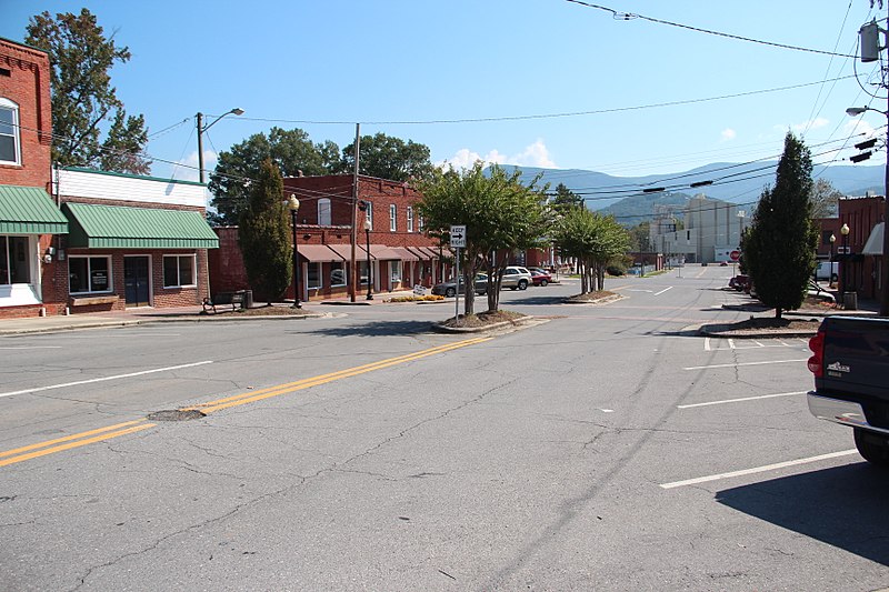
File:Downtown_Chatsworth,_Georgia,_Sept_2017_3.jpg · Wikimedia Commons · See Wikimedia Commons
Chatsworth
Sign in to saveAlso known as Chatsworth, Georgia, Chatsworth, GA
city and county seat in Murray County, Georgia, United States
Key facts
- Country
- United States
- State
- Georgia
- County
- Murray
- Total
- 5.14 sq mi (13.3 km )
- Land
- 5.13 sq mi (13.3 km )
- Water
- 0.01 sq mi (0.026 km )
- Elevation
- 745 ft (227 m)
- Density
- 916.9/sq mi (354.02/km )
- Time zone
- UTC-5 ( Eastern (EST) )
- Summer dst
- UTC-4 (EDT)
- Area codes
- 706/762
- Fips code
- 13-15508
- Gnis feature id
- 03274178
- Website
- www .chatsworthga .gov
via Wikipedia infobox
Wikidata facts
- Official name
- Chatsworth
- Country
- United States
- Located in
- Murray County
- Population
- 4874
- Area
- 13.792014
- Elevation
- 227
- Capital of
- Murray County
- Official website
- www.chatsworthga.gov
- Image
- Chatsworth.jpg
- Households
- 1476
- Dialing code
- 706
Show 6 more facts
- Commons category
- Chatsworth, Georgia
- postal code
- 30705
- inception
- 1905-01-01
- P8168
- Saint-Ennemond
- water as percent of area
- 0.1672
- per capita income
- 21668
Sources (7)
via Wikidata · CC0
~5 min read
Encyclopedic overview
U.S. Route 411 in Chatsworth Chatsworth is a city in and the county seat of Murray County, Georgia, United States. It is part of the Dalton, Georgia, Metropolitan Statistical Area. Its population was 4,874 at the 2020 census, up from 4,299 in 2010. The city is the site of the coldest recorded temperature in Georgia, −17 °F (−27 °C) on January 27, 1940.
According to a popular legend, the town received its name after a road sign with the word "Chatsworth" fell off a passing freight train nearby. Someone put the sign on a post, and the name stuck.
Excerpted from Wikipedia’s “Chatsworth” article, available under the CC BY-SA 4.0 licence.