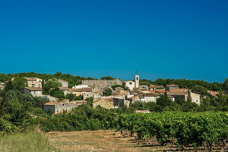
File:Collorgues.jpg · Wikimedia Commons · See Wikimedia Commons
OverviewAI-generated
Collorgues is a commune in France, situated within the Gard department and the arrondissement of Nîmes. It lies in the Occitanie region and shares borders with Aubussargues, Baron, Castelnau-Valence, and Foissac. The administrative entity includes the canton of Saint-Chaptes, while its associated electoral district is the canton of Uzès.
The commune has an area of 9.27 square kilometers and an elevation of 216 meters above sea level. Population figures vary by source, with one listing 671 residents (292 male and 316 female) and another citing 389. The postal code for the area is 30190.
Synthesized by Vinony from 35 facts across 6 sources: Wikidata, Openweathermap, OpenStreetMap, GeoNames, Vinony graph, Geo. Generated from structured data (not the Wikipedia text) and checked against those facts — may still contain errors.
Weather now
7-day forecast
via Open-Meteo
Place details
- Locality
- Collorgues
- Region
- Occitanie
- Country
- France
- Population
- 389
via OpenStreetMap · GeoNames
Key facts
- French commune.name
- Collorgues
- French commune.commune status
- Commune
- French commune.image
- Collorgues.jpg
- French commune.caption
- A general view of Collorgues
- French commune.image coat of arms
- Blason de la ville de Collorgues (30).svg
- French commune.arrondissement
- Nîmes
- French commune.canton
- Uzès
- French commune.INSEE
- 30086
- French commune.postal code
- 30190
- French commune.mayor
- Micheline Reghenas
- French commune.term
- 2020–2026
- French commune.elevation m
- 152
- French commune.elevation min m
- 109
- French commune.elevation max m
- 216
- French commune.area km2
- 9.27
via Wikipedia infobox
Wikidata facts
- Instance of
- commune of France
- Official name
- Collorgues
- Country
- France
- Located in
- arrondissement of Nîmes
- Population
- 669
- Area
- 9.27
- Elevation
- 158
- Time zone
- UTC+02:00
- Shares border with
- Serviers-et-Labaume
- Official website
- www.collorgues.fr
- Image
- Collorgues.jpg
Show 8 more facts
- Commons category
- Collorgues
- postal code
- 30190
- associated electoral district
- canton of Uzès
- male population
- 292
- female population
- 316
- P8168
- Ferula assa-foetida
- email address
- mailto:[email protected]
- phone number
- +33-4-66-81-20-58
Sources (4)
via Wikidata · CC0
Article · Français
Collorgues est une commune française située dans le centre du département du Gard en région Occitanie. Exposée à un climat méditerranéen, elle est drainée par le Bourdic, le ruisseau de la Candouillère, Valat de Gouloubert et par deux autres cours d'eau. Incluse dans les gorges du Gardon. Collorgues est une commune rurale qui compte 634 habitants en 2019, après avoir connu une forte hausse de la population depuis 1968. Elle fait partie de l'aire d'attraction de Nîmes. Ses habitants sont appelés les Collorgois ou Collorgoises.
Abstract from DBpedia / Wikipedia · CC BY-SA
Gallery (2)
On the map
2 mapped locations