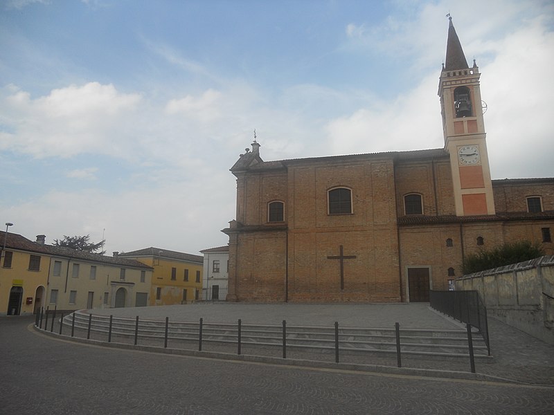
File:Credera_piazza.JPG · Wikimedia Commons · See Wikimedia Commons
In the Vinony graph
Within Vinony's link graph, Credera Rubbiano is referenced by 126 other articles, and connects out to Italy, Milan and time zone.
The entry is geolocated on the map in city.
It is catalogued under topics including Cities and towns in Lombardy and Municipalities of the Province of Cremona.
Its subject is documented across 46 Wikipedia language editions.
Key facts
- Country
- Italy
- Region
- Lombardy
- Province
- Cremona (CR)
- Mayor
- Matteo Guerini Rocco
- Total
- 14.4 km (5.6 sq mi)
- Elevation
- 69 m (226 ft)
- Density
- 111/km (289/sq mi)
- Demonym
- Crederesi
- Time zone
- UTC+1 ( CET )
- Summer dst
- UTC+2 ( CEST )
- Dialing code
- 0373
- Website
- Official website
via Wikipedia infobox
Wikidata facts
- Instance of
- comune of Italy
- Official name
- Credera Rubbiano
- Demonym
- crederesi
- Country
- Italy
- Located in
- Province of Cremona
- Population
- 1532
- Area
- 14.13
- Elevation
- 69
- Time zone
- UTC+02:00
- Shares border with
- Moscazzano
- Official website
- www.comune.crederarubbiano.cr.it
- Dialing code
- 0373
- Licence plate code
- CR
- Patron saint
- Domninus of Fidenza
Show 2 more facts
- postal code
- 26010
- Commons category
- Credera Rubbiano
Sources (6)
via Wikidata · CC0
~1 min read
Encyclopedic overview
Credera Rubbiano (Cremasco: Credéra Rübià) is a comune (municipality) in the Province of Cremona in the Italian region Lombardy, located about 45 kilometres (28 mi) southeast of Milan and about 35 kilometres (22 mi) northwest of Cremona. It was created in 1928 through the merger of the former communes of Credera and Rubbiano.
Credera Rubbiano borders the following municipalities: Capergnanica, Casaletto Ceredano, Cavenago d'Adda, Moscazzano, Ripalta Cremasca, Turano Lodigiano.
Excerpted from Wikipedia’s “Credera Rubbiano” article, available under the CC BY-SA 4.0 licence.