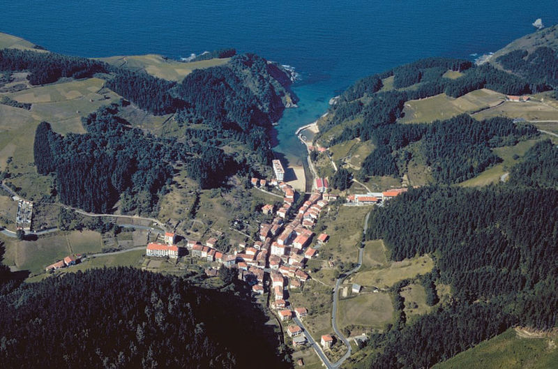
File:Etor-ea.jpg · Wikimedia Commons · See Wikimedia Commons
Key facts
- Country
- Spain
- Autonomous community
- Basque Country
- Province
- Biscay
- Comarca
- Busturialdea
- Mayor
- Juan Luis Landazabal Lamikiz ( Bildu )
- Total
- 14.17 km (5.47 sq mi)
- Elevation
- 10 m (33 ft)
- Density
- 58.2/km (151/sq mi)
- Demonym s
- Spanish : Earra , Basque : Eatar
- Time zone
- UTC+1 ( CET )
- Summer dst
- UTC+2 ( CEST )
via Wikipedia infobox
Wikidata facts
- Instance of
- municipality of Spain
- Official name
- Ea
- Demonym
- eatar
- Country
- Spain
- Located in
- Busturialdea
- Continent
- Europe
- Official language
- Basque
- Population
- 1443
- Area
- 14.17
- Elevation
- 10
- Time zone
- UTC+02:00
- Body of water
- Cantabrian Sea
- Shares border with
- Ispaster
- Official website
- www.eakoudala.net
- Image
- Etor-ea.jpg
- Licence plate code
- BI
Show 5 more facts
- Commons category
- Ea
- P8168
- Meda
- postal code
- 48287
- female population
- 392
- male population
- 431
via Wikidata · CC0
~3 min read
Encyclopedic overview
Ea (also pronounced Ie in local Basque) is a town and municipality located in the province of Biscay, in the autonomous community of Basque Country, northern Spain.
The town has three boroughs: Ea, Bedarona and Natxitua. The main one, Ea, is the most populated of the municipality, which has a total population of 865 (2014).
Excerpted from Wikipedia’s “Ea” article, available under the CC BY-SA 4.0 licence.