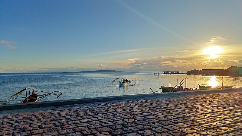
File:View_of_the_Leyte_Gulf_and_Manicani_Island_from_the_Guiuan_Terminal_in_April_2022_(1).jpg · Wikimedia Commons · See Wikimedia Commons
Key facts
- Country
- Philippines
- Region
- Eastern Visayas
- Founded
- June 11, 1965
- Ratified
- November 14, 1967
- Capital and largest city
- Borongan
- Governor
- Ralph Vincent M. Evardone ( PFP )
- Vice governor
- Maria Caridad S. Goteesan ( PFP )
- Legislature
- Eastern Samar Provincial Board
- Total
- 4,660.47 km (1,799.42 sq mi)
- Rank
- 24th out of 82
- Highest elevation mount mactaon
- 673 m (2,208 ft)
- Density
- 101.424/km (262.687/sq mi)
- Component cities
- 1 Borongan
- Municipalities
- 22 Arteche Balangiga Balangkayan Can-avid Dolores General MacArthur Giporlos Guiuan Hernani Jipapad Lawaan Llorente Maslog Maydolong Mercedes Oras Quinapondan Salcedo San Julian San Policarpo Sulat Taft
- Districts
- Legislative districts of Eastern Samar
- Time zone
- UTC+8 ( PHT )
- Idd area code
- +63 (0)55
- Iso 3166 code
- PH-EAS
via Wikipedia infobox
Wikidata facts
- Instance of
- province of the Philippines
- Official name
- Lalawigan ng Eastern Samar
- Country
- Philippines
- Located in
- Eastern Visayas
- Contains
- Giporlos
- Capital
- Borongan
- Population
- 472683
- Area
- 4660.47
- Elevation
- 16
- Shares border with
- Samar Island
- Official website
- www.easternsamar.gov.ph
- Households
- 115777
- Dialing code
- 55
Show 12 more facts
- topic's main category
- Category:Eastern Samar
- postal code
- 6800–6822
- Commons category
- Eastern Samar
- inception
- 1965-06-19
- language used
- Waray
- electorate
- 359570
- Köppen climate classification
- tropical rainforest climate
- poverty incidence
- 29.40
- total assets
- 6473507202.39
- total expenditure
- 1295582467.67
- fiscal/tax revenue
- 2150634284.56
- total liabilities
- 1618537885.25
Sources (15)
via Wikidata · CC0
Gallery (12)
On the map
24 mapped locations