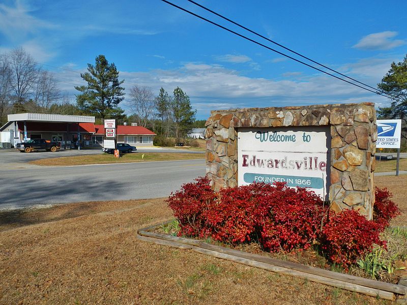
File:Edwardsville,_Alabama.JPG · Wikimedia Commons · See Wikimedia Commons
Key facts
- Country
- United States
- State
- Alabama
- County
- Cleburne
- Total
- 16.45 sq mi (42.60 km )
- Land
- 16.45 sq mi (42.60 km )
- Water
- 0 sq mi (0.00 km )
- Elevation
- 1,024 ft (312 m)
- Density
- 12.5/sq mi (4.84/km )
- Time zone
- UTC-6 ( Central (CST) )
- Summer dst
- UTC-5 (CDT)
- Fips code
- 01-23176
via Wikipedia infobox
Wikidata facts
- Official name
- Edwardsville
- Country
- United States
- Located in
- Cleburne County
- Population
- 206
- Area
- 42.588934
- Elevation
- 296
- Image
- Edwardsville, Alabama.JPG
- Households
- 73
- Dialing code
- 256
Show 6 more facts
- postal code
- 36261
- Commons category
- Edwardsville, Alabama
- water as percent of area
- 0
- water area
- 0
- per capita income
- 26940
- mean age
- 30.3
Sources (9)
via Wikidata · CC0
~3 min read
Encyclopedic overview
Edwardsville is a town in Cleburne County, Alabama, United States. At the 2020 census, the population was 206. From 1867 to 1906, it served as the Cleburne County Seat. In 1880 and 1890, it was the most populous community in the county. It reached its population zenith of 448 in 1900 when it fell behind Heflin, to which it also lost the county seat to six years later. It has not had more than 226 persons since 1920.
Geography
Excerpted from Wikipedia’s “Edwardsville” article, available under the CC BY-SA 4.0 licence.
Gallery (5)
On the map
Available in 38 languages
- Español
- Français
- Deutsch
- 中文
- Português
- Italiano
- العربية
- azb
- Bahasa Indonesia
- Basque
- Catalan
- Cebuano
- Central Kurdish
- Chechen
- Egyptian Arabic
- Gilaki
- Haitian Creole
- Hungarian
Show 19 more
via Wikidata sitelinks · CC0