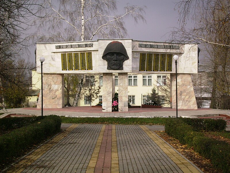
File:Memorial_Ertil.JPG · Wikimedia Commons · See Wikimedia Commons
In the Vinony graph
Vinony's link graph records 122 inbound references to ارتیل, and connects out to administrative centre, Federal State Statistics Service and 2010 Russian census.
The entry is geolocated on the map.
It is catalogued under the topic Cities and towns in Voronezh Oblast.
Vinony links it to 39 Wikipedia language editions.
Key facts
- Country
- Russia
- Federal subject
- Voronezh Oblast
- Administrative district
- Ertilsky District
- Urban settlement selsoviet
- Ertil
- Elevation
- 140 m (460 ft)
- Total
- 11,387
- Estimate 2025
- 9,666 ( −15.1% )
- Capital of
- Ertilsky District, Ertil Urban Settlement
- Municipal district
- Ertilsky Municipal District
- Urban settlement
- Ertil Urban Settlement
- Time zone
- UTC+3 ( MSK )
- Postal codes
- 397030–397033, 397039
via Wikipedia infobox
Wikidata facts
- Country
- Soviet Union
- Population
- 9666
- Area
- 20
- Elevation
- 140
- Time zone
- UTC+03:00
- Capital of
- Ertilsky District
- Official website
- ertil.org
- Image
- Memorial Ertil.JPG
- Dialing code
- 47345
Show 4 more facts
- native label
- Эртиль
- Commons category
- Ertil, Voronezh Oblast
- inception
- 1897-01-01
- postal code
- 397030
Sources (2)
via Wikidata · CC0
Gallery (3)
On the map
Connections
administrative centre
Entity
Federal State Statistics Service
Entity
2010 Russian census
Entity
Russia
Country
Russian
Entity
time zone
Entity
geographic coordinate system
Entity
Wikidata
Entity
Voronezh Oblast
Entity
Voronezh
Entity
Wayback Machine
Entity
Don
Entity
drainage basin
Entity
UTC+03:00
Entity
federal subject of Russia
Entity
oblast
Entity
Moscow Time
Entity
Liski
Entity
administrative divisions of Russia
Entity
Borisoglebsk
Entity