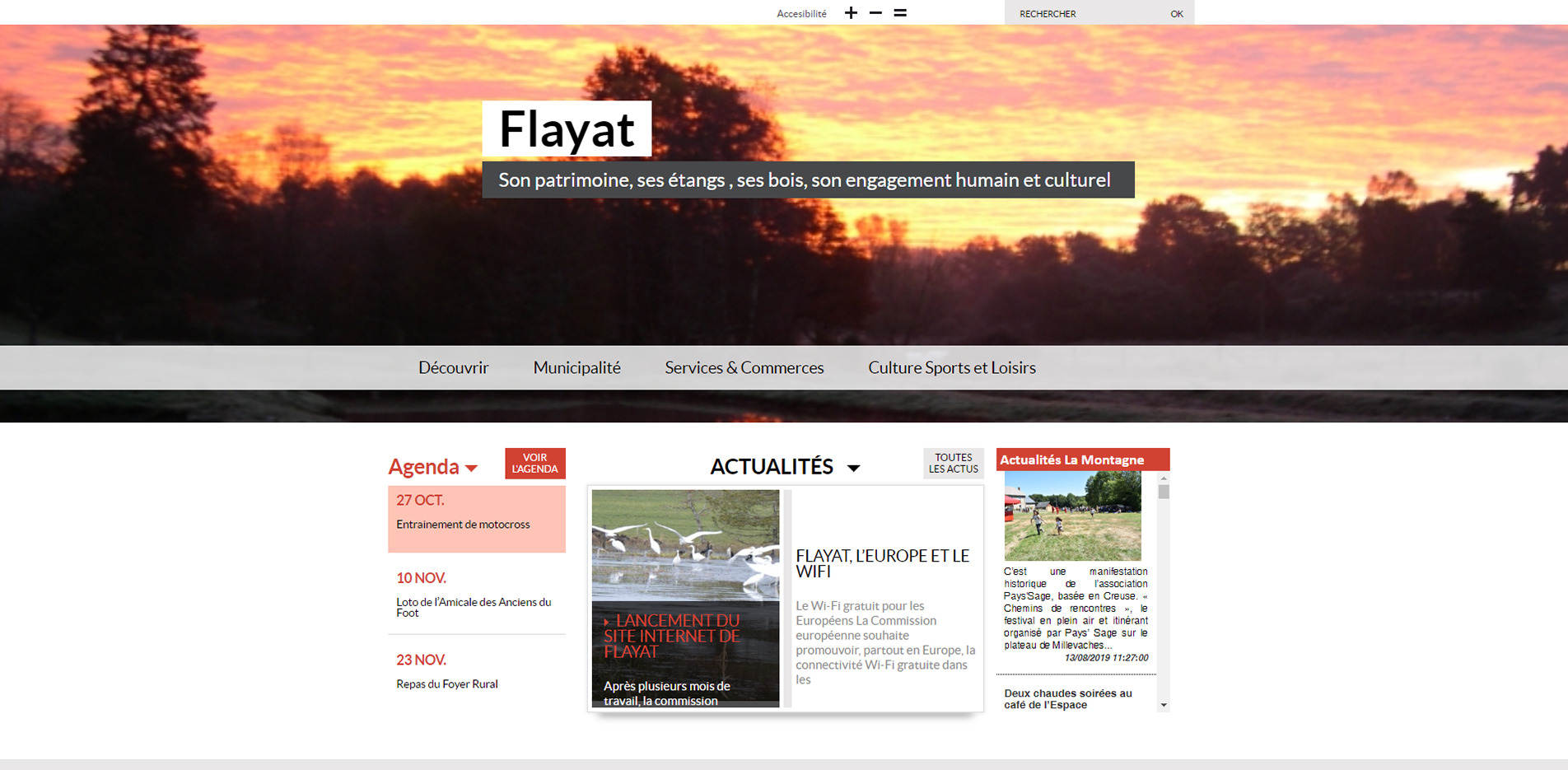
Official website (https://www.flayat.fr/)
Flayat
Sign in to saveFlayat (; ) is a commune in the Creuse department in the Nouvelle-Aquitaine region in central France.
Weather now
cached 466h ago7-day forecast
via Open-Meteo
Place details
- Locality
- Flayat
- Region
- Nouvelle-Aquitaine
- Country
- France
- Population
- 389
via OpenStreetMap · GeoNames
Key facts
- French commune.name
- Flayat
- French commune.commune status
- Commune
- French commune.image
- Flayat egliseStMartin clocher.jpg
- French commune.caption
- The parish church of Saint-Martin, in Flayat
- French commune.arrondissement
- Aubusson
- French commune.canton
- Auzances
- French commune.INSEE
- 23081
- French commune.postal code
- 23260
- French commune.mayor
- Patrick Mounaud
- French commune.term
- 2021–2026
- French commune.intercommunality
- CC Marche et Combraille en Aquitaine
- French commune.elevation min m
- 735
- French commune.elevation max m
- 827
- French commune.area km2
- 43.53
via Wikipedia infobox
Official website
Site de la commune de Flayat -
flayat.fr →Link to the official site · 973 chars · not written by Vinony
Wikidata facts
- Official name
- Flayat
- Population
- 296
- Area
- 43.53
- Elevation
- 762
- Official website
- www.flayat.fr
- Image
- Flayat église.jpg
Show 7 more facts
- Commons category
- Flayat
- postal code
- 23260
- male population
- 156
- female population
- 153
- P8168
- Anton Feichtner
- email address
- mailto:[email protected]
- phone number
- +33-5-55-67-81-04
Sources (4)
via Wikidata · CC0
~1 min read
Article
5 sectionsContents
- Geography
- Population
- Sights
- See also
- References
Flayat (; ) is a commune in the Creuse department in the Nouvelle-Aquitaine region in central France.
==Geography== An area of lakes and streams, forestry and farming, comprising the village and several hamlets situated in the upper valley of the river Méouzette some southeast of Aubusson, at the junction of the D21, D30 and the D996 roads. The commune has an eastern border with the department of Allier and is within the national park of the Millevaches (not 1000 cows, but lakes).
On the map
2 mapped locations