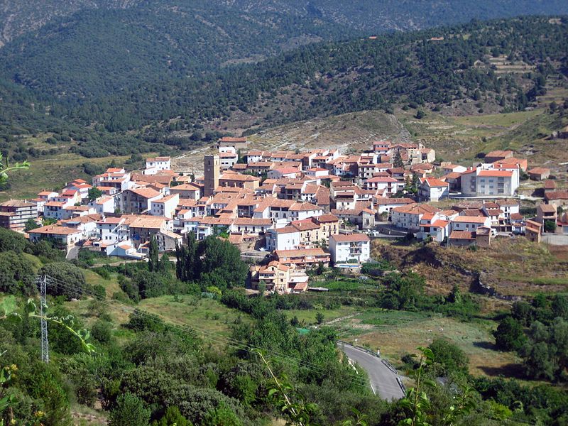
File:Formiche_Alto_vista_general.jpg · Wikimedia Commons · See Wikimedia Commons
Key facts
- Country
- Spain
- Autonomous community
- Aragon
- Province
- Teruel subdivision_type3 = Comarca
- Total
- 78.17 km (30.18 sq mi)
- Elevation
- 1,108 m (3,635 ft)
- Density
- 2.00/km (5.17/sq mi)
- Time zone
- UTC+1 ( CET )
- Summer dst
- UTC+2 ( CEST )
via Wikipedia infobox
Wikidata facts
- Official name
- Formiche Alto
- Country
- Spain
- Located in
- Teruel Province
- Official language
- Spanish
- Population
- 156
- Area
- 78.165681
- Elevation
- 1108
- Shares border with
- Valbona
- Image
- Formiche Alto vista general.jpg
- Licence plate code
- TE
Show 5 more facts
- Commons category
- Formiche Alto
- postal code
- 44440
- male population
- 80
- female population
- 61
- P8168
- Saku Koivu
via Wikidata · CC0
~1 min read
Encyclopedic overview
Formiche Alto is a municipality located in the province of Teruel, Aragon, Spain. According to the 2004 census (INE), the municipality had a population of 191 inhabitants. According to the 2010 census, the municipality has a population of 190 inhabitants. Its postal code is 44440
This town is located in the Gúdar-Javalambre comarca, at the feet of the Sierra de Camarena, Sistema Ibérico.
Excerpted from Wikipedia’s “Formiche Alto” article, available under the CC BY-SA 4.0 licence.