
File:Furano_Snow_Resort_view2.JPG · Wikimedia Commons · See Wikimedia Commons
Key facts
- Country
- Japan
- Region
- Hokkaido
- Prefecture
- Hokkaido
- Mayor
- Yoshiaki Noto
- Total
- 600.97 km (232.04 sq mi)
- Density
- 37.797/km (97.894/sq mi)
- Time zone
- UTC+09:00 ( JST )
- City hall address
- 1-1, Yayoicho, Furano-shi, Hokkaido, 076-8555
- Website
- www .city .furano .hokkaido .jp
- Bird
- Black woodpecker
- Flower
- Ezo-murasaki-tsutsuji ( Rhododendron dauricum)
- Mammal
- Red Squirrel ( Sciurus vulgaris)
- Mascot
- Hesomaru (へそ丸)
- Tree
- Japanese yew and Japanese bigleaf magnolia
via Wikipedia infobox
Official website
Link to the official site · 1,892 chars · not written by Vinony
Wikidata facts
- Instance of
- city of Japan
- Named after
- odor
- Country
- Japan
- Located in
- Kamikawa Subprefecture
- Population
- 24259
- Area
- 600.71
- Time zone
- Japan Standard Time
- Shares border with
- Ashibetsu
- Official website
- www.city.furano.hokkaido.jp
- Image
- Furano Town - panoramio.jpg
Show 8 more facts
- Commons category
- Furano, Hokkaido
- social media followers
- 4579
- topic's main category
- Category:Furano, Hokkaido
- native label
- 富良野市
- name in kana
- ふらのし
- twinned administrative body
- Nishiwaki
- inception
- 1966-05-01
- associated electoral district
- Hokkaido 6th district
via Wikidata · CC0
~12 min read
Encyclopedic overview
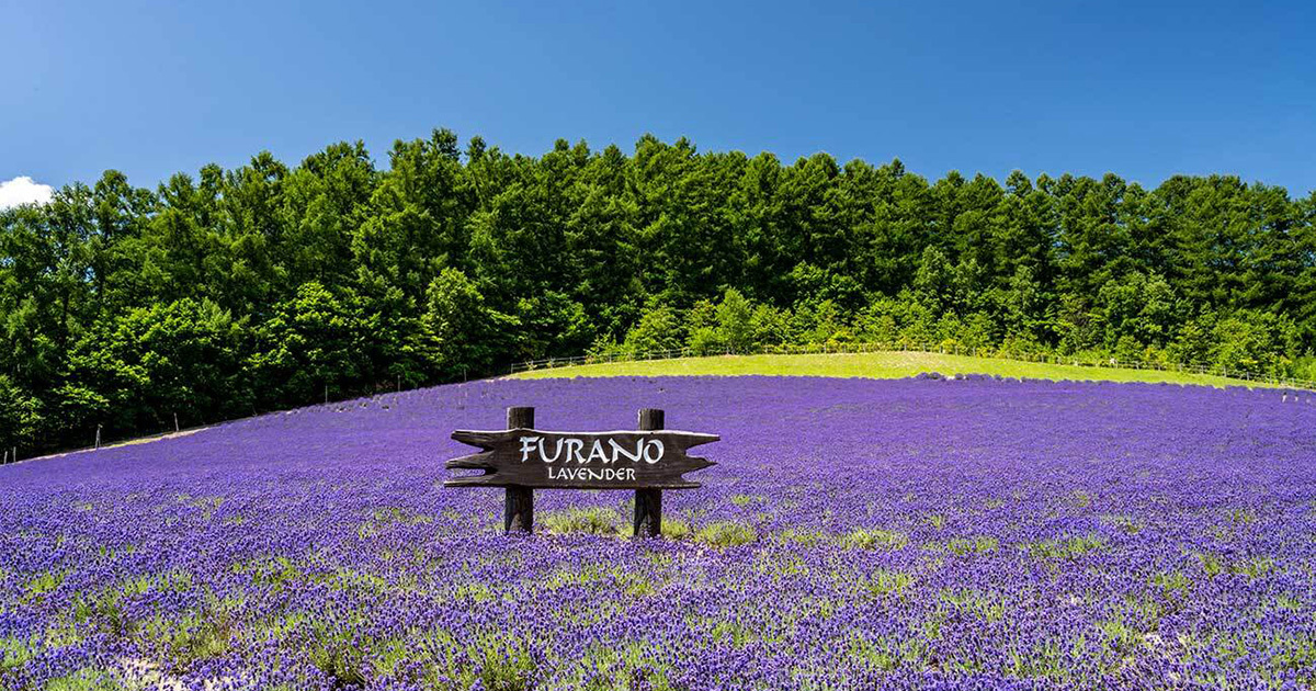
Furano (富良野市, Furano-shi) is a city in the prefecture of Hokkaido, Japan, located in the southern reaches of Kamikawa Subprefecture, under whose jurisdiction it resides. Well known throughout Japan as a tourist destination, it is famous for its lavender fields, the television drama Kita no Kuni kara, and the Furano Ski Resort, which hosted the Snowboarding World Cup in recent years. As of September 2016, the city has an estimated population of 22,715 and a density of 38 persons per km (98 persons per sq. mi.). The total area is 600.97 km (232.04 sq mi).
History
Excerpted from Wikipedia’s “Furano” article, available under the CC BY-SA 4.0 licence.
Gallery (9)
On the map
2 mapped locations