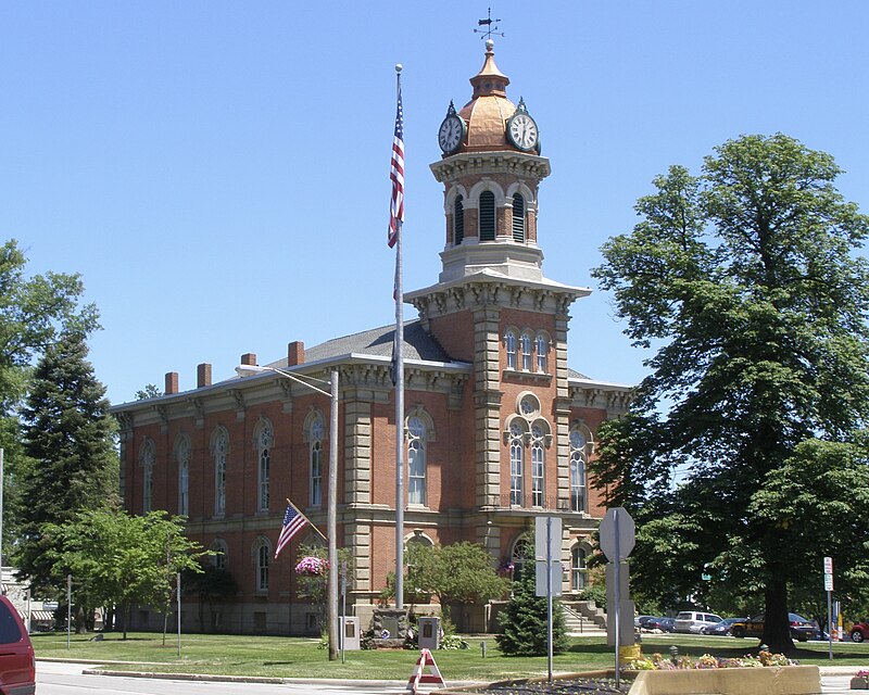
File:Geauga_County_Courthouse_P7010530.jpg · Wikimedia Commons · See Wikimedia Commons
Geauga County
Sign in to saveAlso known as Geauga County, Ohio, Geauga County, OH, Geauga
county in Ohio, United States
Key facts
- Country
- United States
- State
- Ohio
- Founded
- March 1, 1806
- Named after
- an Iroquoian word for " raccoon "
- Seat
- Chardon
- Largest city
- Chardon
- Total
- 408 sq mi (1,060 km )
- Land
- 400 sq mi (1,000 km )
- Water
- 8.1 sq mi (21 km ) 2.0%
- Estimate 2025
- 95,676
- Density
- 239.2/sq mi (92.4/km )
- Time zone
- UTC−5 ( Eastern )
- Summer dst
- UTC−4 ( EDT )
- Congressional district
- 14th
- Website
- geauga .oh .gov
via Wikipedia infobox
Wikidata facts
- Country
- United States
- Located in
- Ohio
- Contains
- Chardon
- Capital
- Chardon
- Population
- 95397
- Area
- 1057
- Shares border with
- Cuyahoga County
- Official website
- www.co.geauga.oh.us
- Image
- Geauga County Courthouse P7010530.jpg
- Households
- 35303
- Licence plate code
- 28
Show 8 more facts
- category of associated people
- Category:People from Geauga County, Ohio
- Commons category
- Geauga County, Ohio
- topic's main category
- Category:Geauga County, Ohio
- inception
- 1806-03-01
- water as percent of area
- 2
- native label
- Geauga County
- per capita income
- 41874
Sources (11)
via Wikidata · CC0
~17 min read
Encyclopedic overview
Geauga County (/dʒiˈɔːɡə/ jee-AW-gə) is a county located in the northeast portion of the U.S. state of Ohio. As of the 2020 census, the population was 95,397. The county seat and largest city is Chardon.
The county is named for an Onondaga or Seneca language word meaning "raccoon", originally the name of the Grand River.
Excerpted from Wikipedia’s “Geauga County” article, available under the CC BY-SA 4.0 licence.