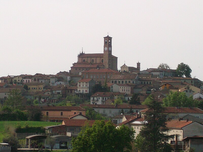
File:Grana.Monferrato.JPG · Wikimedia Commons · See Wikimedia Commons
Key facts
- Country
- Italy
- Region
- Piedmont
- Province
- Asti (AT)
- Total
- 6.0 km (2.3 sq mi)
- Density
- 100/km (270/sq mi)
- Demonym
- Granesi
- Time zone
- UTC+1 ( CET )
- Summer dst
- UTC+2 ( CEST )
- Dialing code
- 0141
via Wikipedia infobox
Wikidata facts
- Instance of
- comune of Italy
- Official name
- Grana Monferrato
- Demonym
- granesi
- Country
- Italy
- Located in
- Province of Asti
- Population
- 509
- Area
- 5.89
- Elevation
- 289
- Time zone
- UTC+02:00
- Shares border with
- Penango
- Official website
- www.comune.grana.at.it
- Image
- Grana.Monferrato.JPG
- Dialing code
- 0141
- Licence plate code
- AT
- Patron saint
- Assumption of Mary
Show 3 more facts
- postal code
- 14031
- Commons category
- Grana Monferrato
- public holiday
- patronal festival
via Wikidata · CC0
~1 min read
Encyclopedic overview
Grana Monferrato is a comune (municipality) in the Province of Asti in the Italian region Piedmont, located about 50 kilometres (31 mi) east of Turin and about 12 kilometres (7 mi) northeast of Asti. As of 31 December 2004, it had a population of 628 and an area of 6.0 square kilometres (2.3 mi).
Grana Monferrato borders the following municipalities: Calliano, Casorzo, Castagnole Monferrato, Grazzano Badoglio, Moncalvo, Montemagno, and Penango. 44°59′56″N 8°17′55″E / 44.998796°N 8.298583°E / 44.998796; 8.298583
Excerpted from Wikipedia’s “Grana Monferrato” article, available under the CC BY-SA 4.0 licence.
Gallery (2)
On the map
2 mapped locations