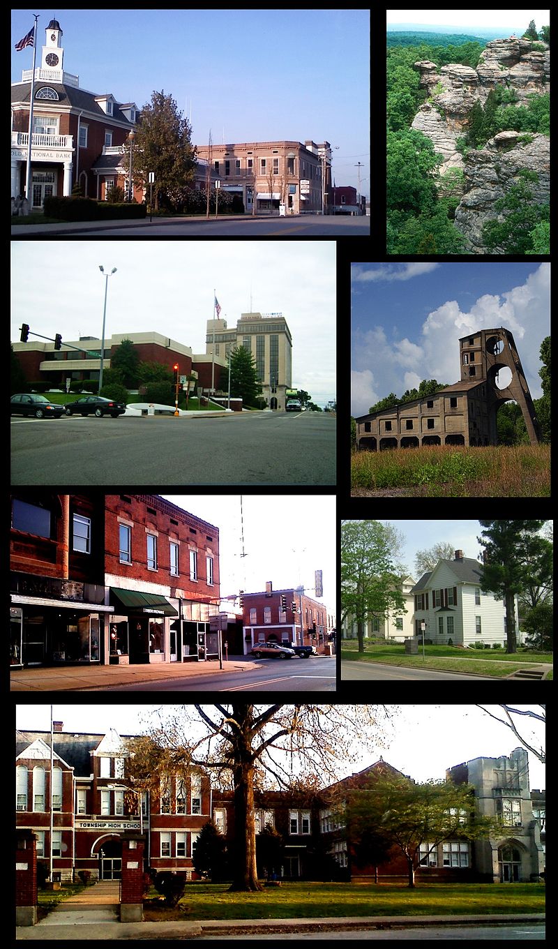
File:CompilationHarrisburgIL_2009.jpg · Wikimedia Commons · See Wikimedia Commons
Harrisburg
Sign in to saveAlso known as Harrisburg, Illinois, Harrisburg, IL
county seat of Saline County, Illinois, United States
Key facts
- Country
- United States
- State
- Illinois
- County
- Saline
- Total
- 6.81 sq mi (17.63 km )
- Land
- 6.61 sq mi (17.12 km )
- Water
- 0.20 sq mi (0.51 km ) 3.11%
- Elevation
- 381 ft (116 m)
- Density
- 1,243.1/sq mi (479.97/km )
- Time zone
- UTC−6 ( CST )
- Summer dst
- UTC−5 ( CDT )
- Area codes
- 618, 730
- Fips code
- 17-33136
via Wikipedia infobox
Wikidata facts
- Instance of
- city in the United States
- Official name
- Harrisburg
- Country
- United States
- Located in
- Saline County
- Population
- 8219
- Area
- 17.511204
- Elevation
- 121
- Capital of
- Saline County
- Official website
- thecityofharrisburgil.com
- Image
- CompilationHarrisburgIL 2009.jpg
- Households
- 3681
- Dialing code
- 618
Show 8 more facts
- Commons category
- Harrisburg, Illinois
- topic's main category
- Category:Harrisburg, Illinois
- postal code
- 62946
- inception
- 1847-00-00
- P8168
- We Are the Champions
- water as percent of area
- 3.0941
- per capita income
- 20753
- described by source
- New International Encyclopedia
Sources (9)
via Wikidata · CC0
~40 min read
Encyclopedic overview
Harrisburg (/ˈhærɪsbɜːrɡ, ˈhɛərz-/) is a city in and the county seat of Saline County, Illinois, United States. It is located about 55 miles (88.51392 km) southwest of Evansville, Indiana, and 111 mi (179 km) southeast of St. Louis, Missouri. Its 2020 population was 8,219, and the surrounding Harrisburg Township had a population of 10,037, including the city residents. Harrisburg is included in the Illinois–Indiana–Kentucky tri-state area and is the principal city in the Harrisburg micropolitan statistical area with a combined population of 24,913.
Located at the concurrency of U.S. Route 45, Illinois Route 13, Illinois Route 145, and Illinois Route 34, Harrisburg is known as the "Gateway to the Shawnee National Forest", and is also known for the Ohio River flood of 1937, the old Crenshaw House (also known as the Old Slave House), the Tuttle Bottoms Monster, prohibition-era gangster Charlie Birger, and the 2012 EF4 tornado. A Cairo and Vincennes Railroad boomtown, the city was one of the leading bituminous coal-mining distribution hubs of the American Midwest between 1900 and 1937.
Excerpted from Wikipedia’s “Harrisburg” article, available under the CC BY-SA 4.0 licence.
Gallery (12)
On the map
2 mapped locations