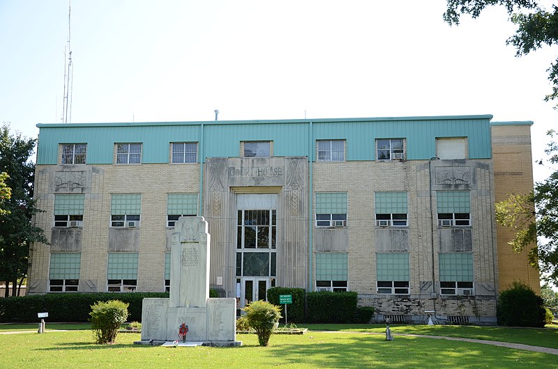
File:Haskell_County_Courthouse.JPG · Wikimedia Commons · See Wikimedia Commons
comté de Haskell
Sign in to saveAlso known as Haskell County, Oklahoma, Haskell County, OK
comté de l'Oklahoma, aux USA
Key facts
- Country
- United States
- State
- Oklahoma
- Named after
- Charles N. Haskell
- Seat
- Stigler
- Largest city
- Stigler
- Total
- 625 sq mi (1,620 km )
- Land
- 577 sq mi (1,490 km )
- Water
- 49 sq mi (130 km ) 7.8%
- Estimate 2025
- 11,787
- Density
- 20.0/sq mi (7.74/km )
- Time zone
- UTC−6 ( Central )
- Summer dst
- UTC−5 ( CDT )
- Congressional district
- 2nd
via Wikipedia infobox
Wikidata facts
- Named after
- Charles N. Haskell
- Country
- United States
- Located in
- Oklahoma
- Contains
- Stigler
- Capital
- Stigler
- Population
- 11561
- Area
- 1619
- Shares border with
- Pittsburg County
- Official website
- oklahoma.gov/okdhs/library/resources/haskellrd211.html
- Image
- Haskell County Courthouse.JPG
- Households
- 4935
Show 8 more facts
- Commons category
- Haskell County, Oklahoma
- topic's main category
- Category:Haskell County, Oklahoma
- inception
- 1907-07-16
- different from
- Hertford County
- category of associated people
- Category:People from Haskell County, Oklahoma
- water as percent of area
- 7.8
- native label
- Haskell County
- per capita income
- 23316
Sources (8)
via Wikidata · CC0
Article · Français
Le comté de Haskell est un comté situé dans l'est de l'État de l'Oklahoma aux États-Unis. Le siège du comté est Stigler. Selon le recensement de 2000, sa population est de 11 792 habitants. Le comté doit son nom à , premier gouverneur de l'Oklahoma.
Abstract from DBpedia / Wikipedia · CC BY-SA